Catalog Archive
Auction 203, Lot 584

Price Reduced by $20

"A New & Accurate Map of the Kingdoms of Naples & Sicily. Drawn from the Most Approv'd Foreign Maps & Charts, and Regulated by Astronl. Observations", Bowen, Emanuel

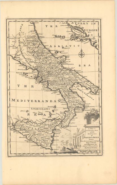
Subject: Southern Italy

Period: 1747 (circa)

Publication: A Complete System of Geography

Color: Black & White

Size:
8.8 x 12.6 inches
22.4 x 32 cm
Download High Resolution Image
(or just click on image to launch the Zoom viewer)

This boldly engraved map shows the Kingdom of Naples and Sicily in fine detail. It names several towns and cities, including Rome, Naples, Taranto, Messina, Catania, and Palermo, and depicts rivers, mountains, and roads. Etna and Vesuvius are graphically depicted as erupting volcanoes. A fragment of Turky in Europe appears in the northeastern corner of the map. There is a compass rose capped with a fleur-de-lis and a title cartouche that incorporates a vignette of the Amphitheatre of Capua.

References: McCorkle (18th C. Geography Books) #17, Vol I [22]; Shirley (BL Atlases) T.BOW-2a #24.

Condition: A

A dark impression on a sheet with a "VI" watermark and a few minor spots.

Estimate: $140 - $170

Unsold

Closed on 4/23/2025

Archived