Catalog Archive
Auction 203, Lot 573
"Tabula Italiae Antiquae in Provincias et Populos Divisa", Blair, Rev. John
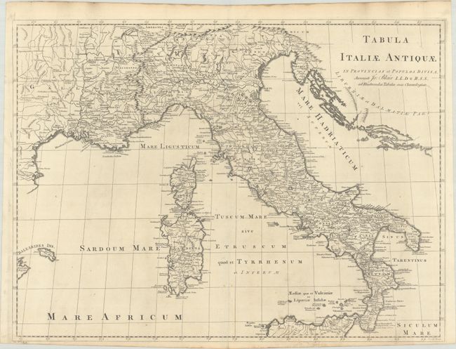
Subject: Italy
Period: 1768 (circa)
Publication: The Chronology and History of the World…
Color: Black & White
Size:
22.8 x 16.9 inches
57.9 x 42.9 cm
Download High Resolution Image
(or just click on image to launch the Zoom viewer)
(or just click on image to launch the Zoom viewer)