Catalog Archive
Auction 203, Lot 508
"Nova et Accurata Territorii Ulmensis cum Dominio Wainensi Descriptio...", Homann, Johann Baptist
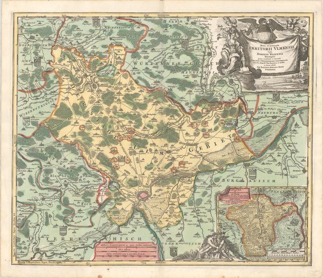
Subject: Southern Germany
Period: 1716 (published)
Publication: Grossen Atlas
Color: Hand Color
Size:
22.7 x 19.3 inches
57.7 x 49 cm
Download High Resolution Image
(or just click on image to launch the Zoom viewer)
(or just click on image to launch the Zoom viewer)