Catalog Archive
Auction 203, Lot 504

Price Reduced by $25

"Comitatus Stolbergensis Delineatio Geographia, Praefecturas Hohnstein, Stolberg, Hayn Berenroda, Ebersburg, Ufftrungen, Rosla et Questen...", Seutter/Lotter

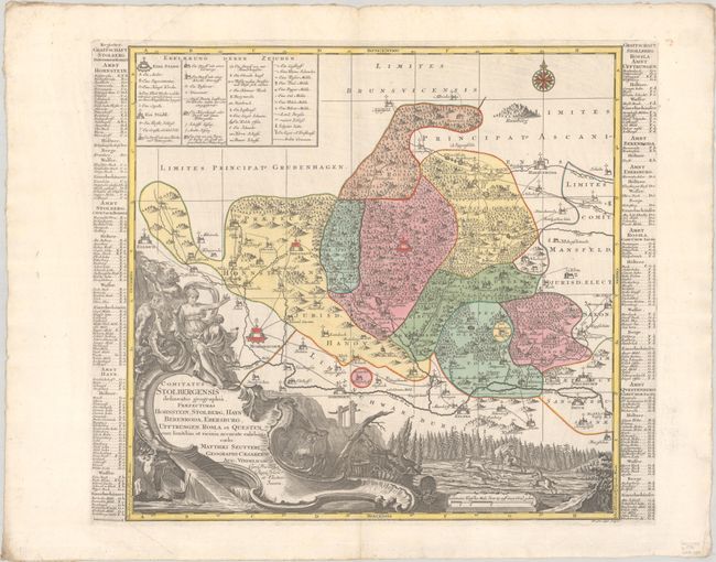
Subject: Central Germany

Period: 1730 (circa)

Publication:

Color: Hand Color

Size:
20.3 x 19.4 inches
51.6 x 49.3 cm
Download High Resolution Image
(or just click on image to launch the Zoom viewer)

This map follows the Helm River from Nordhausen to Kelbra and Bruecken and details the region to the north of the river, including the towns of Stolberg, Hasselfelde and Harzgerode. Early roads, tiny towns, political boundaries, forests and mountains are graphically depicted. An extensive legend is included at top left, and an index to locate towns flanks the map. An elaborate title cartouche features Artemis, Pan, metal workers and a stag hunt.

References:

Condition: A

A nice impression with full contemporary color on a bright sheet with a printer's crease at top left, a pair of small worm tracks in the left margin, and two abrasions in the right margin.

Estimate: $140 - $170

Unsold

Closed on 4/23/2025

Archived