Catalog Archive
Auction 203, Lot 502
"Pars Altera seu Borealis Circuli Rhenani, Vulgo qui Superior: in quo Primas Facis Hassiae Lant Graviatus, Neterum Cattorum Sedes, Heroum Nassoviorum Principum Natale Solum...", Valck, Gerard
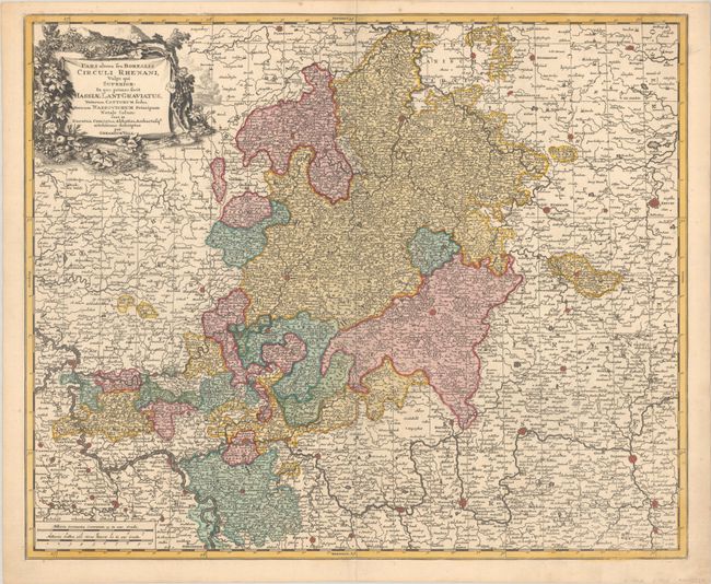
Subject: Central Germany
Period: 1700 (circa)
Publication:
Color: Hand Color
Size:
23.7 x 19.5 inches
60.2 x 49.5 cm
Download High Resolution Image
(or just click on image to launch the Zoom viewer)
(or just click on image to launch the Zoom viewer)