Catalog Archive
Auction 203, Lot 480
"Reyno de Gallicia, y de Leon", Tassin, Christophe Nicholas
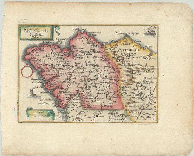
Subject: Northwestern Spain
Period: 1651 (published)
Publication: Cartes Generales des Provinces de France et d'Espagne
Color: Hand Color
Size:
5.9 x 4.1 inches
15 x 10.4 cm
Download High Resolution Image
(or just click on image to launch the Zoom viewer)
(or just click on image to launch the Zoom viewer)