Subject: Southwestern France
Period: 1752-53 (dated)
Publication: Atlas Universel
Color: Hand Color
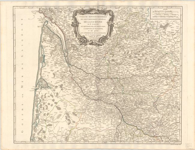
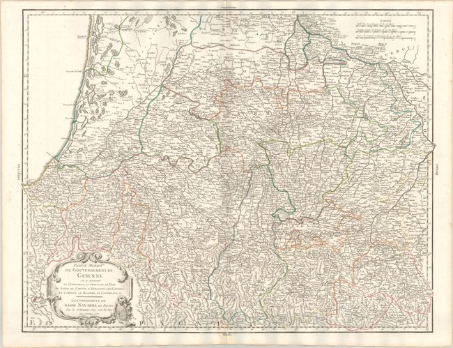
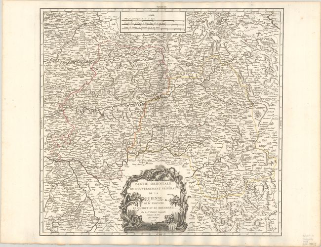
These three sheets illustrate the Aquitaine region, previously known as the Guyenne or Guienne region, from the mouth of the Garonne River to the border with Spain. The third sheet extends east into the Midi-Pyrenees region, including the cities of Toulouse, Montauban, Cahors, and Rodez.
A. Partie Septentrionale du Gouvernement General de la Guienne ou se Trouvent le Bourdelois, le Perigord, l'Agenois, le Bazadois, et une Partie du Condomois et de la Lomagne, dated 1752 (23.0 x 18.8").
B. Partie Meridile. du Gouvernement de Guienne ou se Trouvent le Condomois, la Chalosse, le Pays de Soule, le Labour, l'Armagnac, les Landes, le Cominge, le Bigorre, le Conserans, &c..., dated 1753 (24.7 x 19.1").
C. Partie Orientale du Gouvernement General de la Guienne ou se Trouvent le Quercy et le Rouergue, dated 1753 (20.2 x 19.0").
References: Pedley #148, #149 & #150.
Condition: B+
Sharp impressions with contemporary outline color on bright, watermarked sheets with light offsetting along the centerfolds and a couple of small worm holes in the blank margins.