Catalog Archive
Auction 203, Lot 466
"[Lot of 2] La Partie Septentrionale du Languedoc [and] La Partie Meridionale du Languedoc", Hondius, Henricus
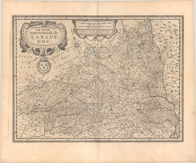
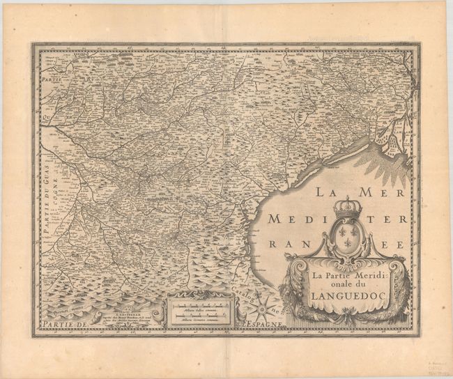
Subject: Southern France
Period: 1623 (dated)
Publication: Gerardi Mercatoris et I. Hondii Atlas
Color: Black & White
Size:
19.8 x 14.8 inches
50.3 x 37.6 cm
Download High Resolution Image
(or just click on image to launch the Zoom viewer)
(or just click on image to launch the Zoom viewer)