Catalog Archive
Auction 203, Lot 450
NO RESERVE
"Le Cours du Rhin au Dessus de Strasbourg et les Pais Adjacens", Delisle/Mortier
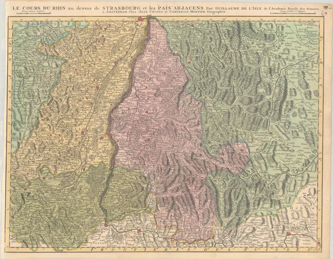
Subject: Western Europe, Rhine River
Period: 1740 (circa)
Publication:
Color: Hand Color
Size:
24.8 x 18.6 inches
63 x 47.2 cm
Download High Resolution Image
(or just click on image to launch the Zoom viewer)
(or just click on image to launch the Zoom viewer)