Catalog Archive
Auction 203, Lot 447

Price Reduced by $40

"Les Provinces des Pays-Bas Catholiques Distinguees Suivant qu'elles sont Presentemente Partagees, Entre le Roy de France...", Sanson/Jaillot

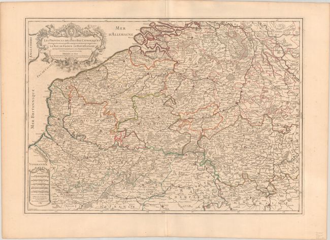
Subject: Low Countries

Period: 1707 (dated)

Publication:

Color: Hand Color

Size:
25.6 x 18.1 inches
65 x 46 cm
Download High Resolution Image
(or just click on image to launch the Zoom viewer)

This splendid, large map of the Low Countries covers present-day Belgium and Luxembourg, extending north to Rotterdam, Netherlands and south to Rheims, France. The map is filled with details of political boundaries, towns, rivers and forested areas. The map is handsomely adorned with a drape-style distance scale cartouche and a title cartouche featuring putti and mermen. Engraved by Cordier.

References:

Condition: A

A crisp impression with contemporary outline color on a sturdy sheet with a large watermark of a Maltese cross encircled in rosary beads. There is a soft, extraneous crease adjacent to the centerfold and a couple of minor spots.

Estimate: $180 - $210

Unsold

Closed on 4/23/2025

Archived