Catalog Archive
Auction 203, Lot 339

NO RESERVE

"Plan de la Baye Saint Louis dans l'Isle de St. Domingue", Bellin, Jacques Nicolas

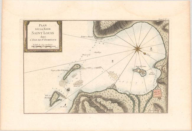
Subject: Fort St. Louis, Haiti

Period: 1764 (circa)

Publication: Le Petit Atlas Maritime

Color: Hand Color

Size:
13.8 x 8.9 inches
35.1 x 22.6 cm
Download High Resolution Image
(or just click on image to launch the Zoom viewer)

This elegantly engraved chart locates Fort St. Louis and the Ville de St. Louis in southern Haiti. On March 22, 1748, this was the site of the Battle of Saint-Louis-du-Sud, a conflict in the Austrian War of Succession. Depth soundings, anchorages, and hazards fill the bay. The map is decorated with a nice title cartouche and a compass rose radiating rhumblines that the orients north to the bottom right of the sheet.

References:

Condition: A

A crisp impression on a sheet with a IHS watermark. There are a few minor spots and faint dampstaining that is almost entirely confined to the blank margins.

Estimate: $80 - $100

Sold for: $8

Closed on 4/23/2025

Archived