Catalog Archive
Auction 203, Lot 285

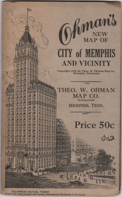
"Map of City of Memphis and Vicinity"

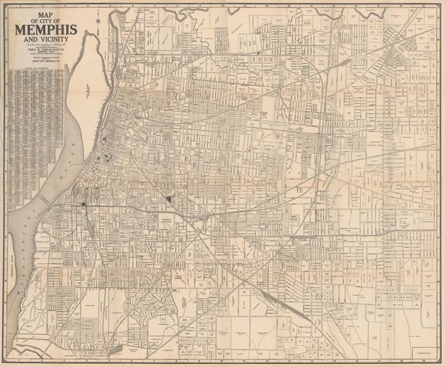
Subject: Memphis, Tennessee

Period: 1925 (dated)

Publication:

Color: Black & White

Size:
32.3 x 26.9 inches
82 x 68.3 cm
Download High Resolution Image
(or just click on image to launch the Zoom viewer)

This detailed street map of Memphis identifies numerous land owners in the less developed areas to the south and east. A street index is at left. Compiled, engraved and published by Theo. W. Ohman Map Co. Folds into paper wrappers (4.4 x 7.2") with an image of the Lincoln American Tower (formerly Colombian Mutual Tower) on the front cover.

References:

Condition: B+

A bright example, issued folding with short separations along the folds and light staining at left from the glue that was used to attach the map to the covers. The covers are lightly soiled.

Estimate: $120 - $150

Sold for: $90

Closed on 4/23/2025

Archived