Catalog Archive
Auction 203, Lot 270
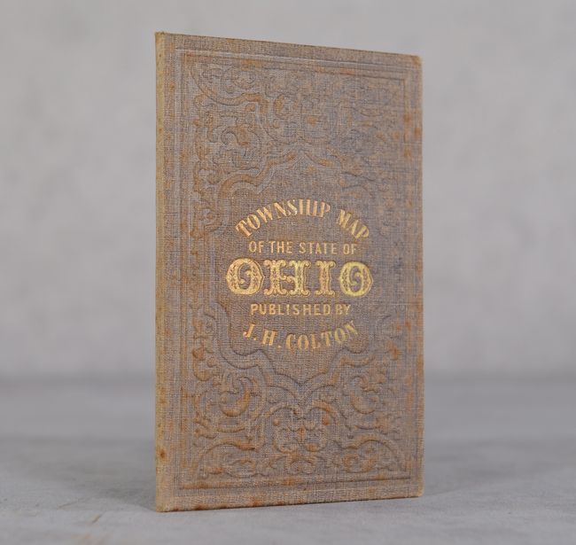
"Colton's Railroad & Township Map of the State of Ohio", Colton, Joseph Hutchins
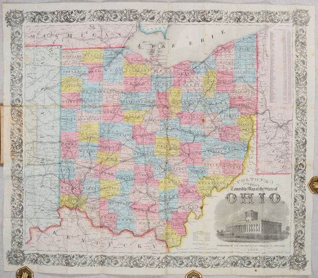
Subject: Ohio
Period: 1854 (dated)
Publication:
Color: Hand Color
Size:
28.8 x 24.6 inches
73.2 x 62.5 cm
Download High Resolution Image
(or just click on image to launch the Zoom viewer)
(or just click on image to launch the Zoom viewer)