Catalog Archive
Auction 203, Lot 267

NO RESERVE

"Map of New York City Showing Portions of Brooklyn, Jersey City, and Westchester Co.", Rand McNally & Co.

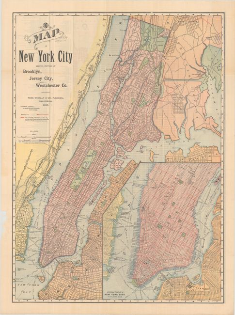
Subject: New York City, New York

Period: 1895 (dated)

Publication:

Color: Printed Color

Size:
19.1 x 26.1 inches
48.5 x 66.3 cm
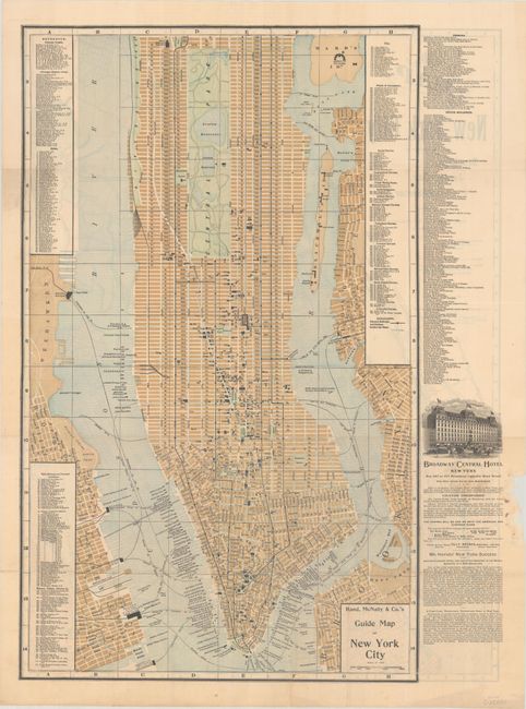
Download High Resolution Image
(or just click on image to launch the Zoom viewer)

This detailed map of New York City shows street car lines highlighted in red. It delineates streets, parks, bridges, tunnels, ports, depots, and more. An inset at bottom left zooms in on Lower and Midtown Manhattan. On verso is Rand, McNally & Co.'s Guide Map of New York City (16.0 x 26.1"), which provides an extensive listing of railway depots, principal steamer lines, hotels, public buildings and prominent institutions, museums, colleges, libraries, clubs, places of amusement, churches, and office buildings. It covers Manhattan south of 113th Street.

References:

Condition: A

Issued folding with a 2mm hole in Long Island City, minor extraneous creasing, and some chipping in the left blank margin.

Estimate: $70 - $90

Sold for: $50

Closed on 4/23/2025

Archived