Catalog Archive
Auction 203, Lot 248

Price Reduced by $30

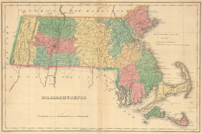
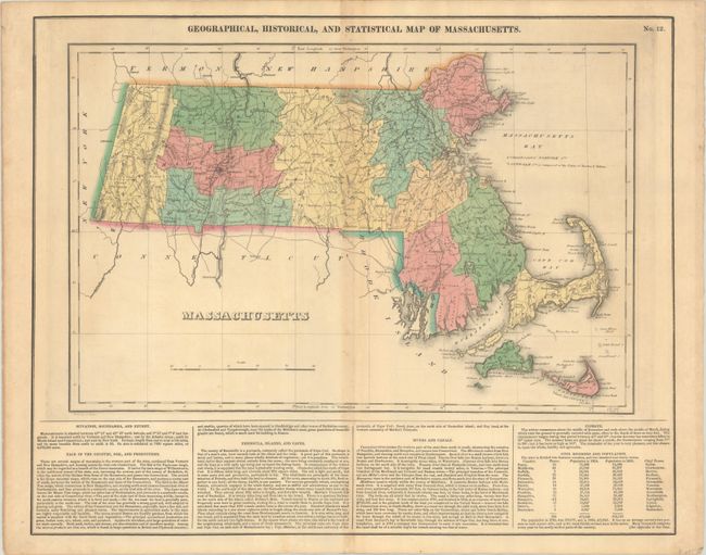
"Geographical, Historical, and Statistical Map of Massachusetts", Carey & Lea

Subject: Massachusetts

Period: 1822 (circa)

Publication: A Complete Historical, Chronological, and Geographical American Atlas...

Color: Hand Color

Size:
18.1 x 11.9 inches
46 x 30.2 cm
Download High Resolution Image
(or just click on image to launch the Zoom viewer)

This map of Massachusetts appears on a full folio sheet (22.3 x 17.6") and has English text beneath it describing natural resources, islands, capes, climate, civil divisions, and more. It depicts county lines current for 1821, just after Maine gained its statehood from Massachusetts in 1820. There is good detail of rivers, mountains, roads, and towns throughout the map. Drawn by Fielding Lucas and engraved by J. Yeager.

References: Phillips (Maps) p. 400.

Condition: B+

Full contemporary color with light toning, minor offsetting, and a bit of foxing along the centerfold.

Estimate: $160 - $190

Unsold

Closed on 4/23/2025

Archived