Catalog Archive
Auction 203, Lot 243
NO RESERVE
"Kentucky", Bradford, Thomas Gamaliel
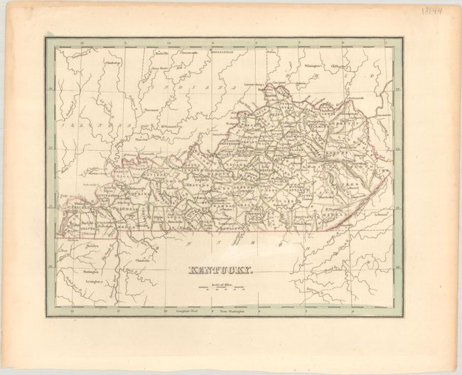
Subject: Kentucky
Period: 1835 (circa)
Publication:
Color: Hand Color
Size:
10 x 7.9 inches
25.4 x 20.1 cm
Download High Resolution Image
(or just click on image to launch the Zoom viewer)
(or just click on image to launch the Zoom viewer)