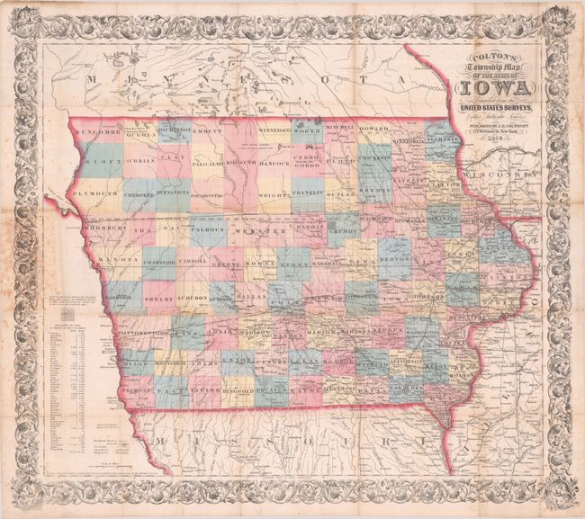
Subject: Iowa
Period: 1856 (dated)
Publication:
Color: Hand Color
Size:
28.6 x 25.6 inches
72.6 x 65 cm
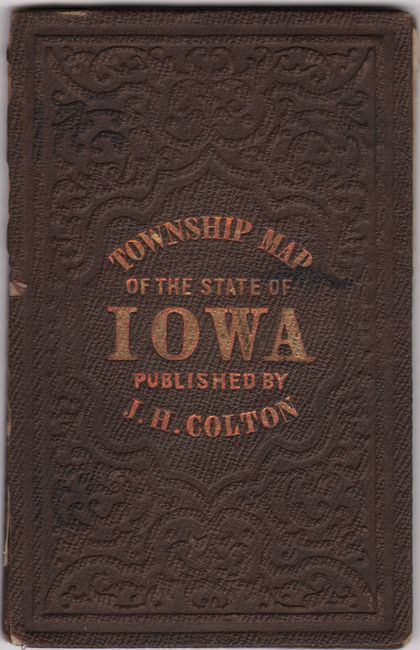
This large pocket map in contemporary color is printed on fine, banknote-quality paper. It shows the rapidly evolving state in good detail, with numerous place names, rivers, forts, wagon roads and both existing and proposed railroads. Development is concentrated in the eastern counties, with the northern and western areas mostly blank. County configurations are current to the date of the map with the organization of Kossuth County in the north. A population table at lower left reveals significant growth, with the state growing by nearly fivefold from 1840 to 1850. Surrounded by a large and decorative leaf and vine border. The map is loose and accompanied by its original brown cloth boards.
References:
Condition: B
Contemporary color with light scattered foxing that is more prominent at left where the map was attached to its covers. There is minute loss at a few fold junctions and a couple of pieces of old tape on verso in the top blank margin. The map is loose with covers present. Covers are lightly worn and spine has completely perished.