Subject: Washington, D.C.
Period: 1908 (published)
Publication:
Color: Printed Color
Size:
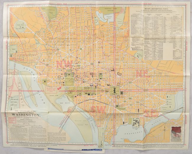
23.3 x 18.8 inches
59.2 x 47.8 cm
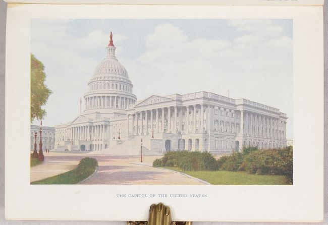
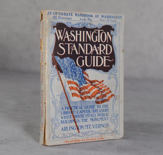
This tourist map of the city includes extensive references to Railway Stations, Prominent Institutions, Buildings, Hotels and more. The map was engraved by the "makers of The Century Atlas" who praise it as "the best and handsomest city map we have every made." The colorful composition shows the street network in yellow, parks in green (including the National Mall), and cemeteries in light blue. The map is still bound into rear of the volume that features a 166-page Washington Standard Guide with 200 illustrations and a separate 112-page advertising section. Introductory text notes that "every care has been taken to make the book a delight to the eye; and the prose and the pictures will prove pleasant reminders of one's visit to Washington." Published by Foster & Reynolds in New York.
References:
Condition: A
Condition code is for the folding map which is clean, colorful and near fine with a minor printing imperfection in Potomac Park. Text is clean and tight. Front and rear wrappers are partially detached and the spine is chipped at top.