Subject: Colorado
Period: 1924 (dated)
Publication:
Color: Printed Color
Size:
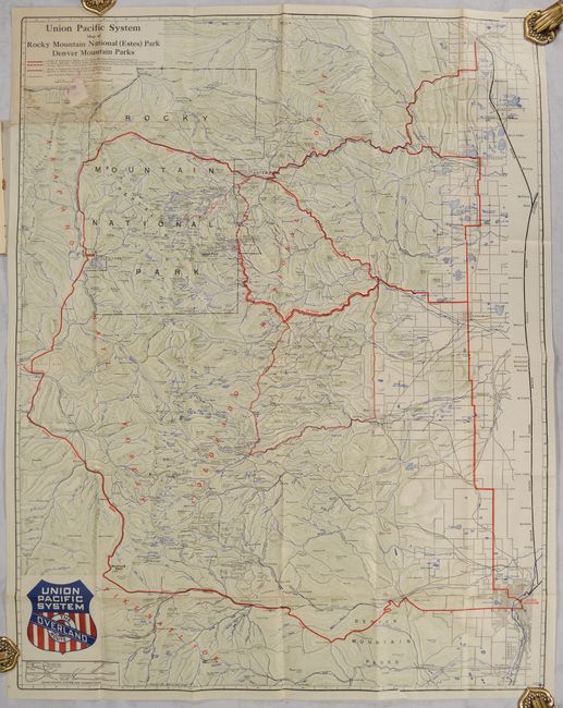
24 x 30.6 inches
61 x 77.7 cm
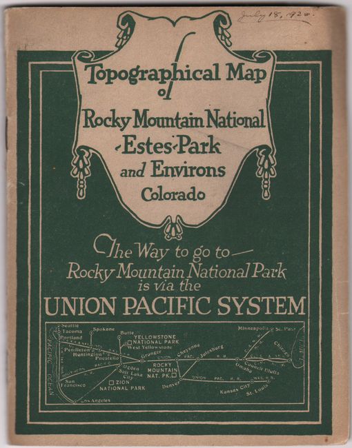
Terrific pocket map showing the tourist areas of Colorado. This handsome topographical map focuses on the Rocky Mountains west of and between Denver and Fort Collins. Details the entire Rocky Mountain National Park, plus the Colorado, Arapaho, and Pike National Forests. Good detail of the cites with streets in grid layout format. Locates Idaho Springs, Golden, Central City, Tolland, Eldora, Nederland, Magnolia, Peaceful Valley, Grand Lake, and Estes Park. Folds into pictorial wrappers (4.8 x 6.2") and includes an 8-page index to locations. On the back cover is an extensive list of Union Pacific Representatives.
References:
Condition: B+
Issued folding with minor misfolding, toning in the top left quadrant, and a label partially adhered on top of the map in the top left quadrant. There are a few short separations along the folds. The wrappers are lightly worn and soiled and there is a chip on the back cover.