Subject: World
Period: 1853 (circa)
Publication:
Color: Hand Color
Two maps published by Daniel Burgess in Smith's Quarto, or Second Book in Geography. A Concise and Practical System of Geography, for Schools, Academies, and Families:
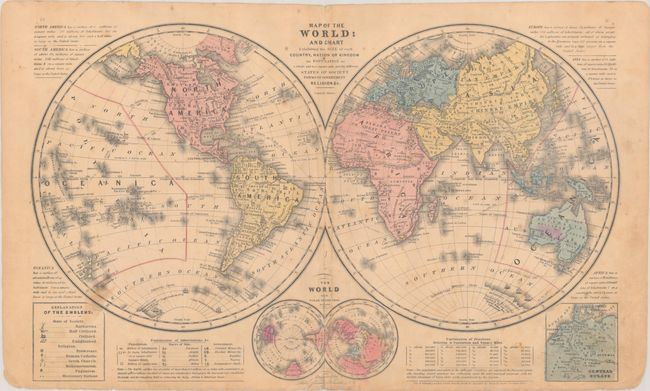
A. Map of the World: and Chart Exhibiting the Size of Each Country, Nation or Kingdom..., (17.4 x 11.0"). A double hemisphere thematic map that uses various symbols to show the "state of society" (enlightened, barbarous, etc.), religion, race, government and population. In the cusp are two miniature polar maps. Condition: There is an archivally repaired 2.25" fold separation at bottom, minor foxing, and some soiling.
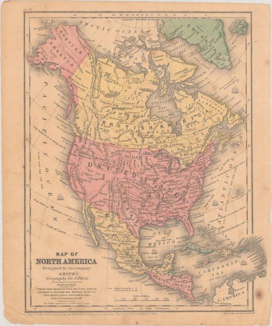
B. Map of North America... dated 1853 (8.7 x 10.8"). This single-page map illustrates the United States with its current borders, reflecting the recently acquired Gadsden Purchase in the Southwest. Texas is still shown in its large stovepipe configuration, extending above James Peak in Colorado. Alaska is still Russian America. The U.S. population is noted at 23 million. Condition: There is some soiling and minor foxing.
References:
Condition: B
See description above.


