Subject: United States, Aviation
Period: 1929 (dated)
Publication:
Color: Printed Color
Size:
30.9 x 14.1 inches
78.5 x 35.8 cm
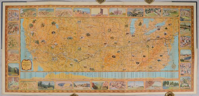
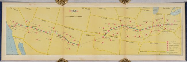
This decorative pictorial map presents the route of Transcontinental Air Transport (TAT) from New York and Washington, D.C. west to Los Angles and San Francisco through a combination of planes and trains (no automobiles). The company's air routes operated between Columbus, Ohio and Waynoka, Oklahoma and then again from Clovis, New Mexico to Los Angeles and San Francisco. Trains would handle the rest including from New York to Columbus, and again from Waynoka to Clovis. The decorative map border is composed of 30 illustrations that passengers would see along the complete route. On verso is a small weather map locating landing fields, teletype lines, and numerous weather observers identified by pink dots. Since TAT operated before radar had been developed, they relied solely on observers to "reduce the weather hazard of aviation to its absolute minimum." These maps were given as gifts to passengers to further enjoy their travel experience and include a flight log (this example is still blank).
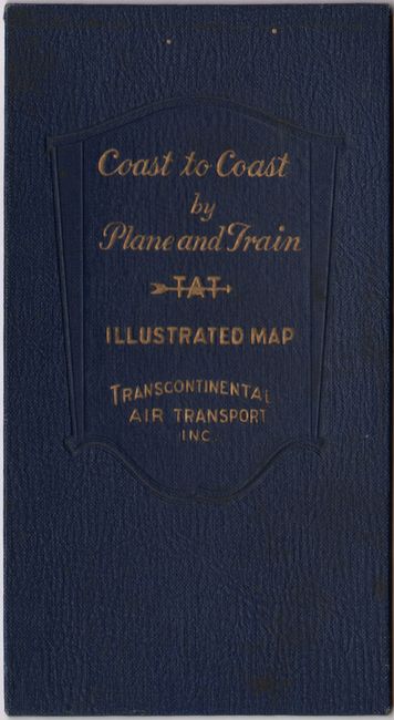
TAT took its first flight on July 7, 1929 - a few months before Dupont's journey. At the time, a one-way fare from New York to Los Angeles (which took 48 hours to complete) was $352 - over $6,000 in today's dollars. The company experienced some early turbulence, including the country's first commercial plane crash in New Mexico where all were lost. After a year of challenges, both in terms of operations and finances, the company merged with Western Air Express to eventually form TWA. Self-folding into blue cloth-covered boards with gilt title on front cover.
References:
Condition: B+
A colorful example issued folding with a couple of tiny fold separations and a small light stain in map image at left. Light soiling and minor wear to covers.


