Catalog Archive
Auction 199, Lot 284
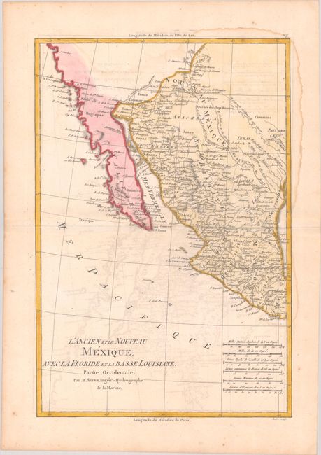
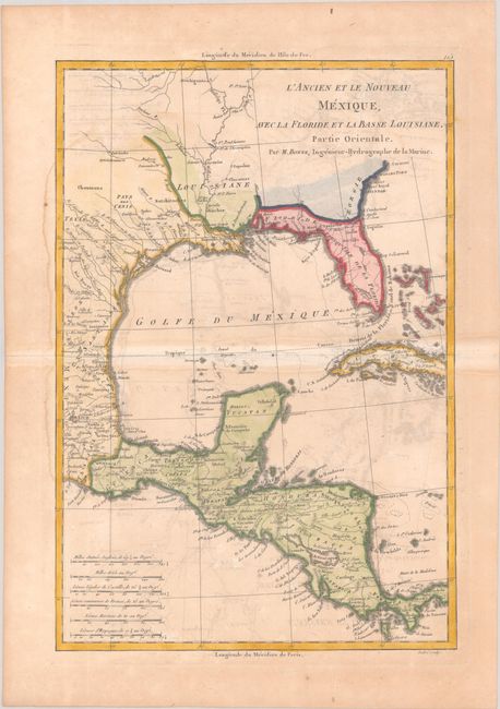
"[Lot of 2] L'Ancien et le Nouveau Mexique, avec la Floride et la Basse Louisiane, Partie Occidentale [and] ... Partie Orientale", Bonne, Rigobert
Subject: Southern United States, Mexico & Central America
Period: 1787 (circa)
Publication: Atlas Encyclopedique
Color: Hand Color
Size:
9.3 x 13.6 inches
23.6 x 34.5 cm
Download High Resolution Image
(or just click on image to launch the Zoom viewer)
(or just click on image to launch the Zoom viewer)


