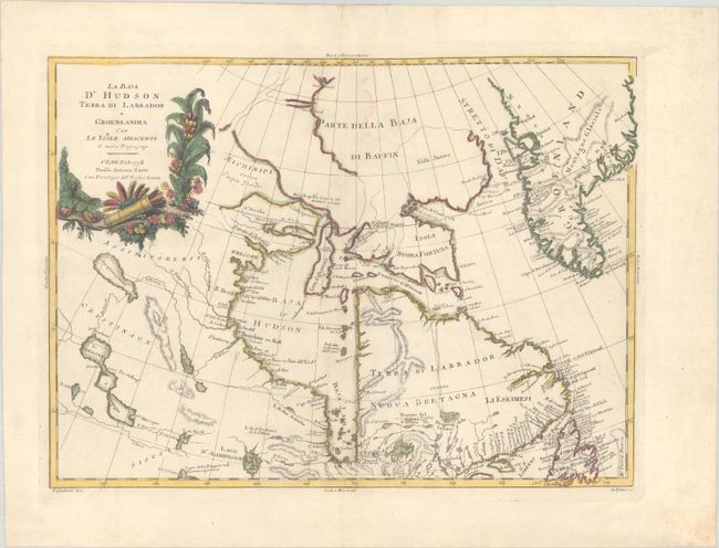
Subject: Eastern Canada & Greenland
Period: 1778 (dated)
Publication: Atlante Novissimo
Color: Hand Color
Size:
16.2 x 11.8 inches
41.1 x 30 cm
This is a very handsome map focused on Hudson Bay, Baffin Bay, part of Greenland, Labrador, and Northern Canada, extending beyond the Arctic Circle to about 70° N. It includes an interesting depiction of a passage between Lake Winnipeg and Hudson Bay, alluding to a possible Northwest Passage, in addition to a few other potential passages emanating from Hudson Bay. This is a near identical variant of Bonne's map (1771) of the same area. The map is adorned with an attractive floral cartouche. Drawn by G. Giuliani and engraved by G. Pitteri.
References: Kershaw #479; Shirley (BL Atlases) T.ZAT-1a, Vol. 4 #40.
Condition: A
Full contemporary color on a sheet with the watermark of three crescent moons, now backed in linen. There is a printer's crease parallel to the centerfold at top, a few minute holes, and minor color offsetting.


