Catalog Archive
Auction 198, Lot 368

"[Lot of 2] Northern Part of Ireland [and] Southern Part of Ireland", Thomson, John

Subject: Ireland

Period: 1817 (dated)

Publication: Thomson's New General Atlas

Color: Hand Color

Size:
23.3 x 19.6 inches
59.2 x 49.8 cm
Download High Resolution Image
(or just click on image to launch the Zoom viewer)

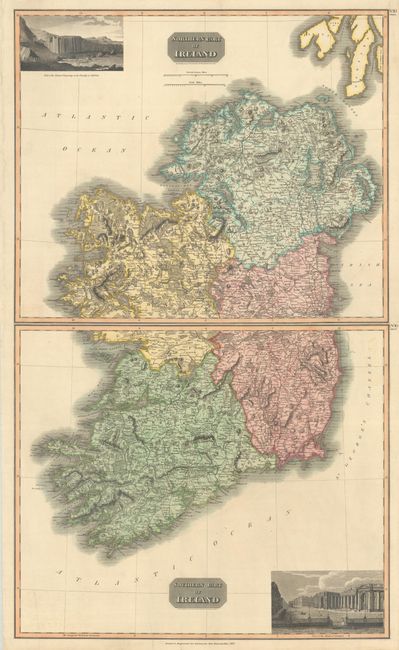
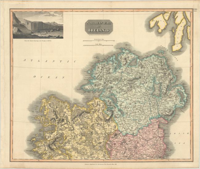
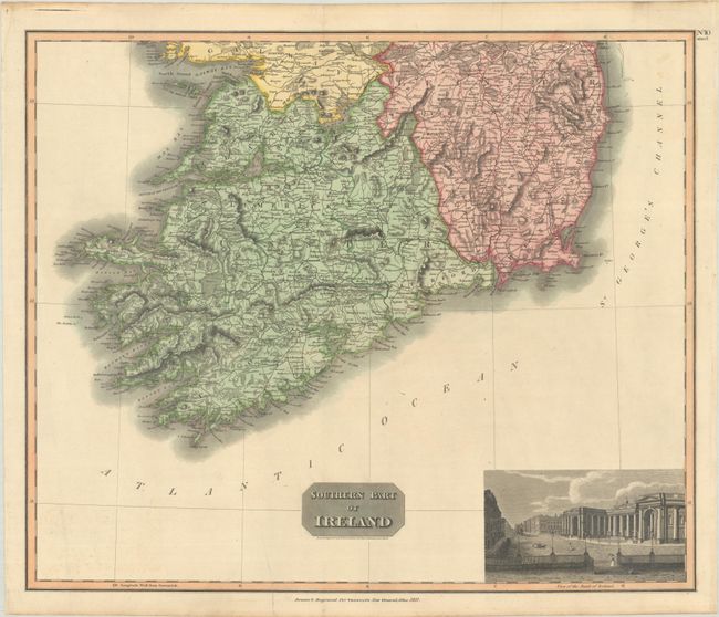
An attractive pair of folio maps covering all of Ireland. They are divided into its counties and filled with details including place names, topography, rivers and roads. The northern map features a lovely vignette "View of the Giants Causeway in the Count of Antrim" at top, and the southern map includes a "View of the Bank of Ireland" at bottom.

References:

Condition: A

Crisp impressions with full contemporary color. The southern sheet has a soft crease adjacent to the left border and another small crease at bottom with a partial tear that has been backed on verso with archival tape. The first image is a composite image - the map is in two separate sheets.

Estimate: $200 - $230

Sold for: $275

Closed on 6/19/2024

Archived