Subject: References, Pacific Ocean & Sea Charts
Period: 1996-99 (published)
Publication:
Color:
A. The Early Cartography of the Pacific, by Lawrence C. Wroth, published 1999, black & white (6.3 x 9.1"). This is an excellent study of maps from Ptolemy to 1798 that are important in the development of the cartography of the Pacific area. It was originally published in Volume 38 of the Papers of the Bibliographical Society of America. Its author, Lawrence C. Wroth, was the Librarian of the John Carter Brown Library and an expert in colonial printing and history. The book emerged in the context of World War II; as Wroth states in the introduction, "The great extent of the Pacific and Indian Oceans was a fact of world geography which had to be learned by most of us, or learned anew, after the outbreak of the war with the Japanese." Full of useful annotations and cross-references. 8vo., cloth. pp. 87-268 and 22 fold-out map reproductions. Reprint facsimile of the 1944 edition. Condition: Like new. (A+)
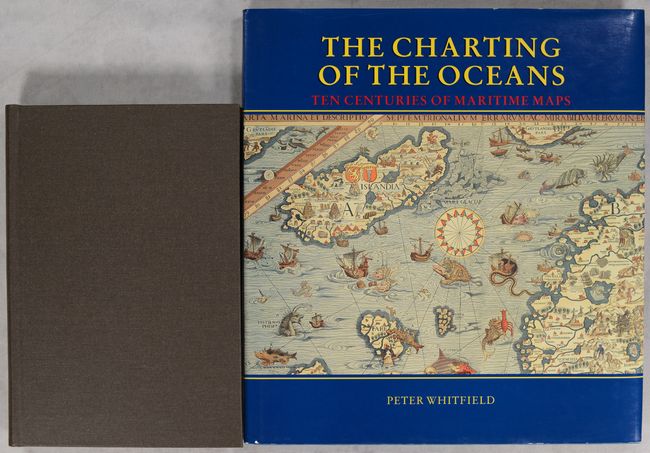
B. The Charting of the Oceans - Ten Centuries of Maritime Maps, by Peter Whitfield, published 1996, printed color (10.8 x 11.6"). This handsome and well written history is about the sea chart in exploration, navigation, and war. Beautifully illustrated in color throughout. 136 pages. Hardbound in blue buckram with gilt title on the spine and a pictorial dust jacket. Condition: Near fine, with a few minor scuffs to covers. (A)
References:
Condition:
See description above.