Subject: References
Period: 1989-90 (published)
Publication:
Color: Black & White
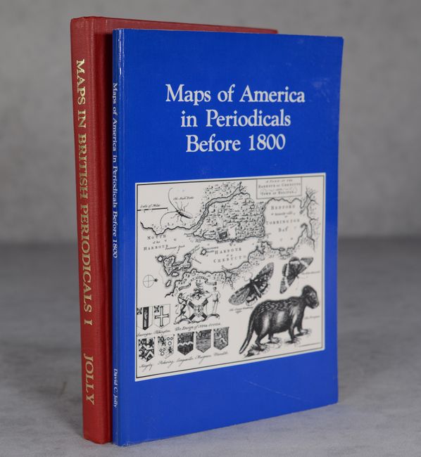
A. Maps in British Periodicals Part I Major Monthlies Before 1800, published 1990 (6.3 x 9.3"). Widely considered to be the requisite cartobibliography on the subject of British periodicals, Part I is devoted to "Major Monthlies Before 1800." This book is a vital part of any reference library, and provides a wealth of information for all cartography and history enthusiasts. With passages such as "While the continental powers battered themselves to pieces, English fleets calmly cruise the seven seas, plucking off France's colonies in America, Africa, and India like so many fat, juicy plums," Jolly's writings are always as entertaining as they are educating. 252 pages. Hardbound in red cloth with gilt title on spine. Condition: Near fine, with just a few slightly creased corners.
B. Maps of America in Periodicals Before 1800, published 1989 (6.0 x 9.0"). An excellent source for older material, this guide is comprised of 465 entries, and is indexed by place, publisher, and periodical. In the preface, the author states that "It was noticed that many dealer catalogs did not attribute maps from 18th-century periodicals with the same accuracy as for maps from atlases." This excellent booklet is a thorough and well executed resource for these types of maps. First edition. 120 pages. Soft covers. Condition: Near fine, with minor shelf wear on covers.
References:
Condition: A
See description above.