Subject: Geography Books
Period: 1802-04 (published)
Publication:
Color: Black & White
Size:
5.3 x 8.6 inches
13.5 x 21.8 cm
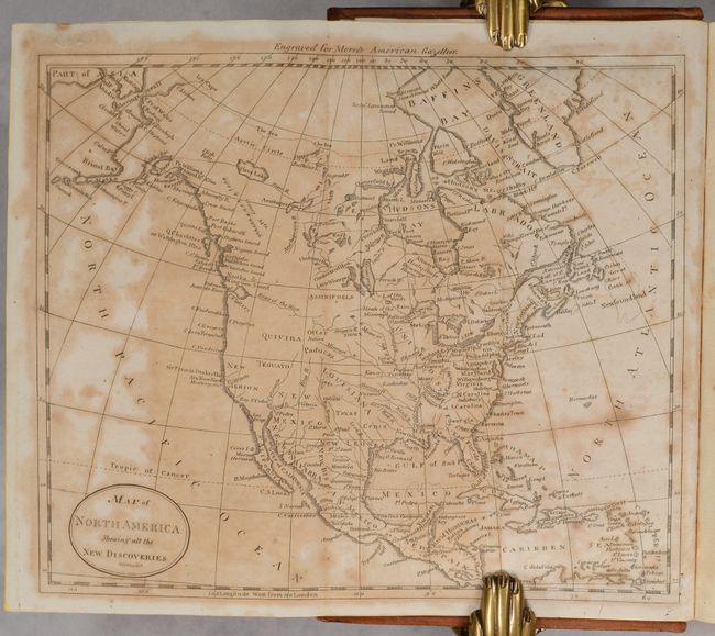
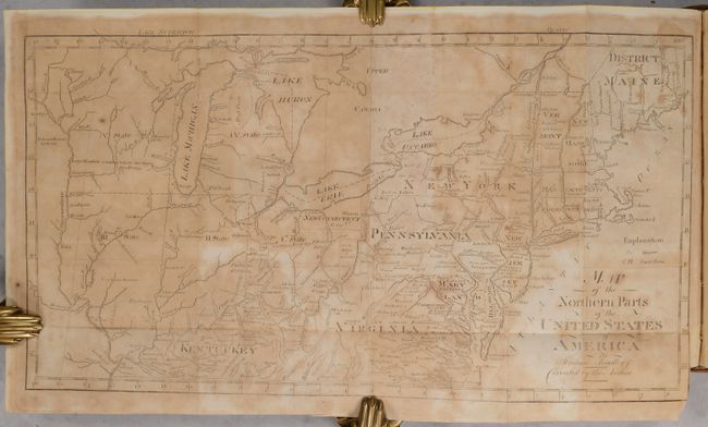
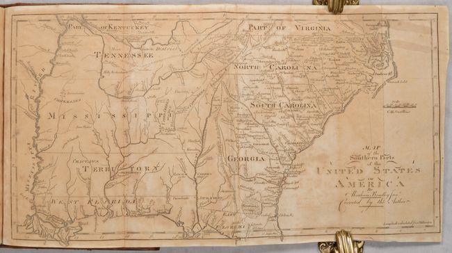
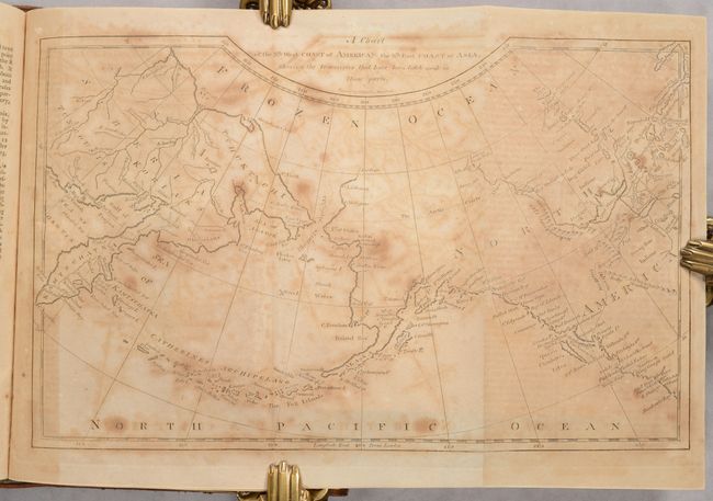
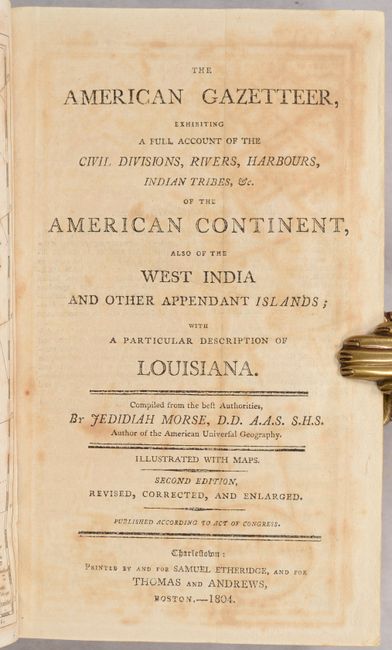
This is a complete two-volume set of this early American geography book that is considered to be the country's first gazetteer. Volume I (published 1804) contains six folding maps. An example of the young country's anxious desire to expand westward can be seen on the Map of the Northern Parts of the United States, which shows several numbered designations for future states in the upper Midwest. This particular map also shows northern Ohio as New Connecticut. The list of maps in Volume I:
A. Map of North America Shewing all the New Discoveries
B. Map of the Northern Parts of the United States of America by Abraham Bradley Jr.
C. Map of the Southern Parts of the United States of America by Abraham Bradley Junr
D. A Chart of the N.th West Coat of America & the N.th East Coast of Asia, Shewing the Discoveries that Have Been Lately Made in Those Parts
E. West Indies from the Best Authorities
F. South America from the Best Authorities
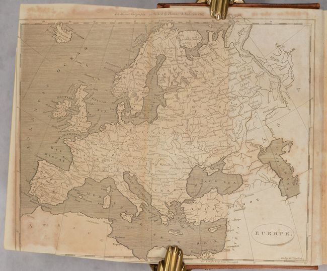
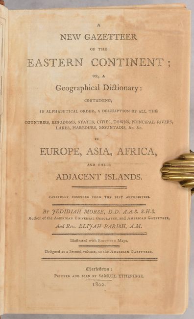
Volume II (published 1802) contains 17 maps, including: the continents of Europe, Asia, and Africa; 10 maps of European countries; Holy Land; Turkey & Hungary; India; and Egypt. 8vo. Complete. Published in Charleston by Samuel Etheridge. Hardbound in full leather with red title labels and decorative gilt on the spine.
References: Howes #M-839; Wheat & Brun #158, 244, 496, 618, 699, 714, 911.
Condition: B
The maps are moderately to heavily toned and foxed, as is commonly found with these volumes. The map of Europe was printed askew on the page and a portion of the borders were trimmed during bookbinding. The few maps and pages of text in Volume II have dampstains. The text has light, scattered foxing, with the exception of pages facing the maps, which are toned. The covers have some scuffs and abrasions but are otherwise in good condition, and the spines have a few tiny abrasions and small cracks.