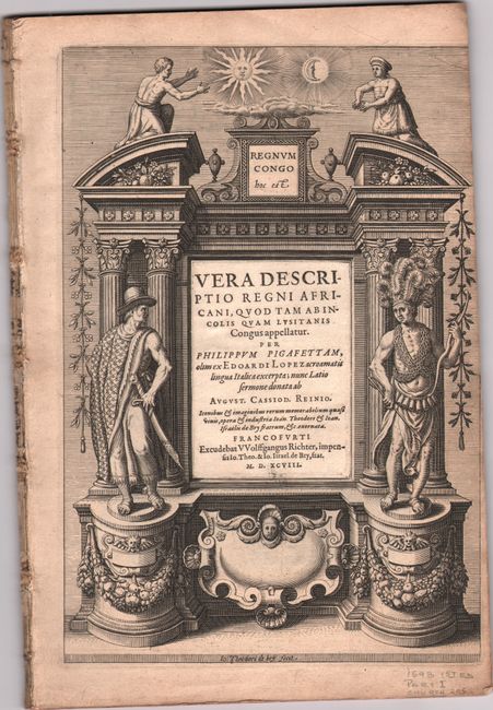
Subject: Africa, Congo
Period: 1598 (published)
Publication:
Color: Black & White
Size:
8 x 12 inches
20.3 x 30.5 cm
This copper engraving is from a remarkable series of publications, illustrating voyages of discovery and travels of exploration to various parts of the world. The project was begun by Theodore de Bry of Frankfurt, in 1590 and was to continue for another 54 years. They became known collectively as the Grands Voyages (to America and the West Indies) and the Petits Voyages (to the Orient and the East Indies). De Bry died after the first six parts of the Grands Voyages were completed. The project was completed initially by his widow and two sons, Johann Theodore de Bry and Johann Israel de Bry, then by Johann Theodore's son-in-law, Matthaus Merian, in 1624.
This is a complete, disbound example of the Latin example Part I of De Bry's Petits Voyages, consisting of all 60 pages of Latin text, a title page, dedication, index, 14 plates, and 2 maps. It chronicles the voyage of Duarte Lopez, who journeyed through the Kingdom of the Congo from 1578 to 1587. On his return to Europe, he went to Rome to make a report to Pope Sixtus V and met Filippo Pigafetta, who compiled the information and published Relatione del reame di Congo in 1591. The work was immediately popular and translations soon appeared in Dutch, English, Latin, and German. Most of the plates focus on the customs of the Congolese peoples, with Latin text at the bottom of sheets on blank versos.
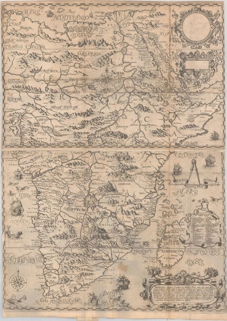
The rare first map, Tabulam hanc Aegypti, si Aequus ac Diligens Lector..., (15.8 x 21.8"), appears on two sheets, joined in this example. It is De Bry's edition of Pigafetta's important map that was significant in the mapping of the African continent. The map covers the eastern part of the continent and takes a major deviation from the long-held Ptolemaic beliefs concerning the source of the Nile. In this depiction, the Ptolemaic side-by-side lakes in the Mountains of the Moon are replaced by two large lakes in central Africa. The lakes are on a north-south axis with the northern one being the source of the Nile. These lakes, connected by a river, form the source of virtually the entire continental river system, spawning rivers that flow into the Atlantic and Indian oceans and the Mediterranean Sea. A cartouche covering part of Madagascar includes an extensive key. The map is beautifully engraved with a stippled sea that is filled with sailing ships and fantastic sea monsters. Three additional strapwork cartouches, two of which are blank, complete the composition. Condition: A sharp impression issued folding on two watermarked sheets, now joined onto a single sheet of old paper to repair binding tears at left and a few small holes and tears in the image. There is light soiling and offsetting, as well as small losses of image along the borders. (B)
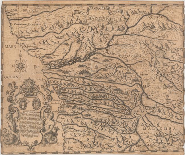
The second map, Tabula Geogra: Regni Congo (14.8 x 12.0"), covers the Congo region of the West African coast from just south of the equator to present-day Angola. It features a highly conjectural Congo river system, dramatic topography, and imaginary cities. The map is adorned by an elaborate cartouche with an alternate title and an ornate compass rose. Condition: A dark impression issued folding on a moderately toned sheet with a coat of arms watermark. Margins are trimmed to neatline at left and right, with several small chips along the edges, with small areas of border missing. There are a few short fold separations and light soiling along the bottom edge. (B)
Plates include:
I) The Arrival of the Portuguese in the County Sogno
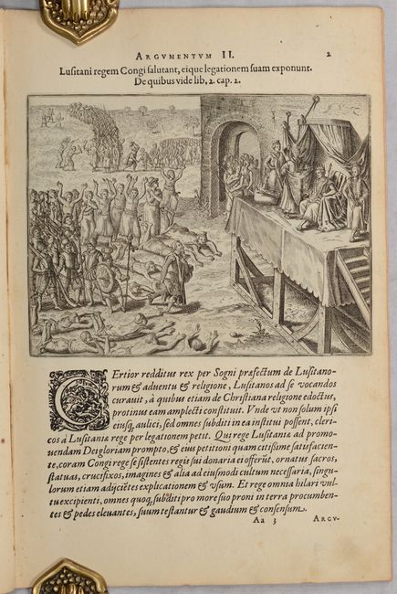
II) The Portuguese Appear Before the King of the Congo
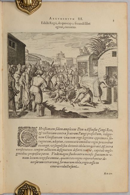
III) How the King of the Congo Had All the Devilish Idols Burnt
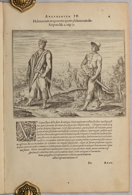
IV) How the Congolese Men Dress
V) How the Congolese Dress for War and Play
VI) How the Congolese Are Transported About
VII) An Alternative Form of Transport Used by the Congolese
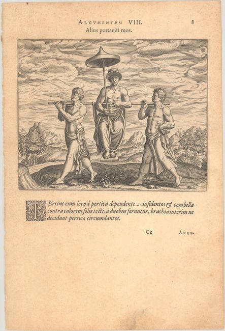
VIII) Another Kind of Congolese Transport
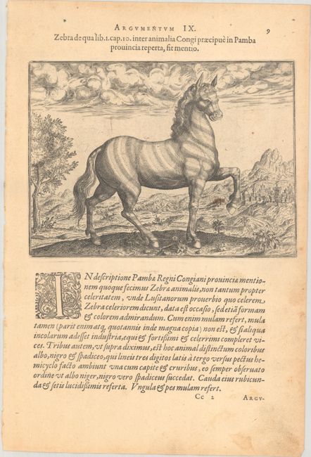
IX) A Description of the Zebra
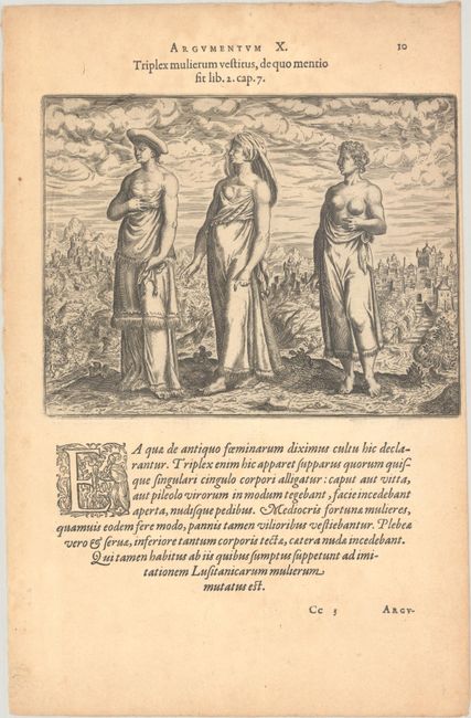
X) Women's Fashion in the Congo
XI) Other Strange Creatures of the Island Congo
XII) The Inhabitants of Loango and the Anziques
XIII) The Siagga Tribe, Who Live on the First Lake of the River Nile
XIV) The Women of Monomotapa
References: Garratt (TMC-9) pp. 9-10; cf. Norwich #16.
Condition:
See description above for the condition statements for the maps. The plates are in very good (A) to near fine (B+) condition, all of them crisp impressions with light spots in some of the engraved images and marginal soiling and foxing. The final plate has light dampstaining. The right margin of the title page has been trimmed as issued, with part of the neatline missing. The title page and first 56 pages of text are still bound together, as are the first 7 plates, but the maps and the remaining sheets are loose and appear to come from different editions. Some of these sheets have the same eagle watermark.


