Catalog Archive
Auction 197, Lot 239

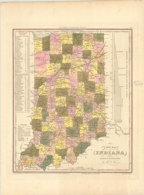
"A New Map of Indiana with Its Roads & Distances", Tanner, Henry Schenck
Subject: Indiana

Period: 1841 (dated)

Publication: New Universal Atlas...

Color: Hand Color

Size:
10.8 x 12.9 inches
27.4 x 32.8 cm
Download High Resolution Image
(or just click on image to launch the Zoom viewer)

This early atlas map of Indiana depicts counties, roads, railroads, canals, and settlements. County configuration is current to imprint date with the newly formed Benton County in the west. The National Road is shown crossing through Indianapolis. Tables at left display the distances along various steamboat routes from Louisville to Pittsburgh and to New Orleans. At right is a profile view of the Wabash and Erie Canal. Engraved by J. Knight. Published by Carey & Hart in Philadelphia.

References:

Condition: B+

Full contemporary color with light toning and soiling. There is an old pencil notation in the right margin.

Estimate: $110 - $140

Unsold

Closed on 4/24/2024

Archived