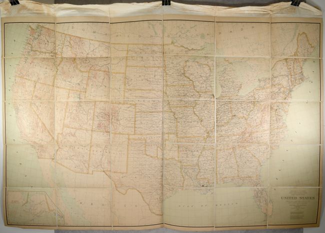
Subject: United States
Period: 1898 (dated)
Publication:
Color: Printed Color
Size:
77.1 x 48.8 inches
195.8 x 124 cm
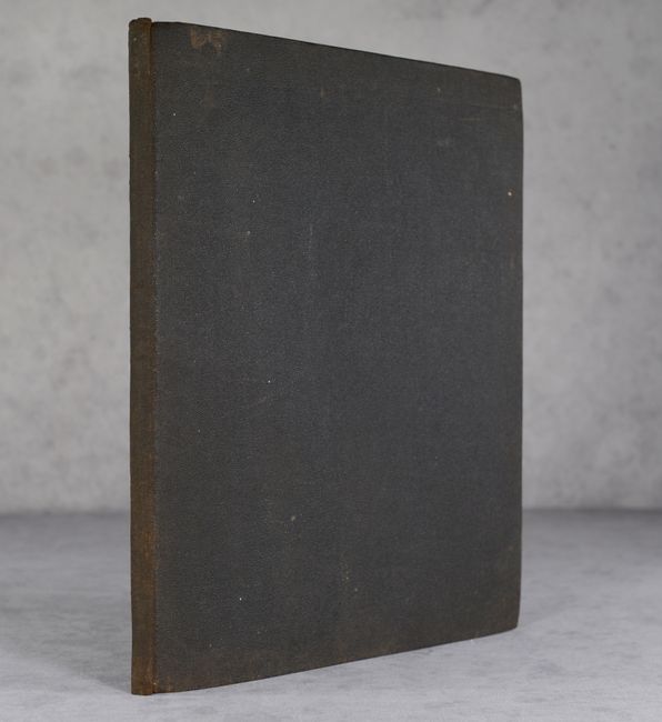
This mammoth map measuring nearly 6.5 feet in width was compiled by Harry King under the direction of Henry Gannett, Chief Topographer. This compilation was based upon numerous other agency maps and charts including those of the Coast Survey, Land Office, 40th Parallel Surveys, and various state-sponsored productions. The resulting map reveals the most complete view of the country at the time with excellent detail of topography, river systems, railroads, Indian reservations, county boundaries, county seats, coastal features, and much more. Present-day Oklahoma is divided nearly in half between Oklahoma Territory and Indian Territory, and Alaska is depicted in an inset at bottom left. First published in 1890 and updated here to 1898. Scale at 40 miles per inch. Dissected into 30 panels and backed with linen. Accompanied by brown cloth covers.
References: Phillips (Maps) p. 945.
Condition: A
There is minor soiling and a small spot west of New Orleans. Dissected and backed with linen. Covers have some light wear and worming to the back board.