Current Auction
Lot 121
Current Auction

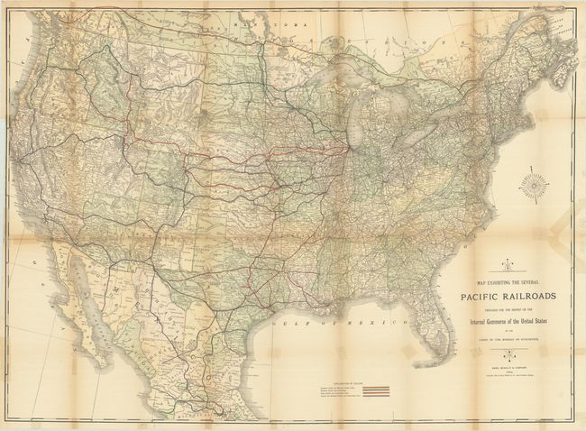
"Map Exhibiting the Several Pacific Railroads Prepared for the Report on the Internal Commerce of the United States by the Chief of the Bureau of Statistics", Rand McNally & Co.

Subject: United States

Period: 1884 (dated)

Publication:

Color: Printed Color

Size:
43 x 31.3 inches
109.2 x 79.5 cm
Download High Resolution Image
(or just click on image to launch the Zoom viewer)

This large folding map of the United States shows the evolving railroad network in the western United States. A color-coded legend at bottom identifies those lines belonging to the Central and Southern Pacific, Union Pacific, Northern Pacific and Canadian Pacific Railways. Other connecting routes are shown with a thin black line. In addition to the railroad network, the map provides good detail of towns and settlements, courthouses, rivers and topography.

References:

Condition: B

Issued folding with light toning along the fold lines. There are old tape reinforcements and repairs to a number of fold separations on verso with some related staining visible on recto.

Estimate: $200 - $230

Sold for: $150

Closed on 4/24/2024

Closed