Subject: Eastern United States & Canada
Period: 1835 (circa)
Publication:
Color: Hand Color
The beginning of the nineteenth century saw a period of rapid market growth and innovation in the map publishing world. Increased literacy and public interest in new frontiers and colonies overwhelmed the market because it was oriented toward the small, affluent market of the previous century. With the intent to fill this void, The Society for the Diffusion of Useful Knowledge (SDUK) was founded in 1828 in London, by Lord Brougham and a group of men dedicated to the education of the aspiring working class and the Utilitarian ideal of 'Knowledge is Power.' The society produced an array of education materials, but the series of maps was one of their most successful ventures. A number of engravers and printers were used to produce the maps, which eventually exceed 200 sheets, and continued to be published after the Society as a whole ceased to function.
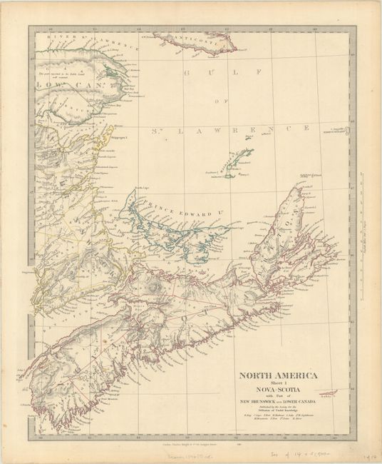
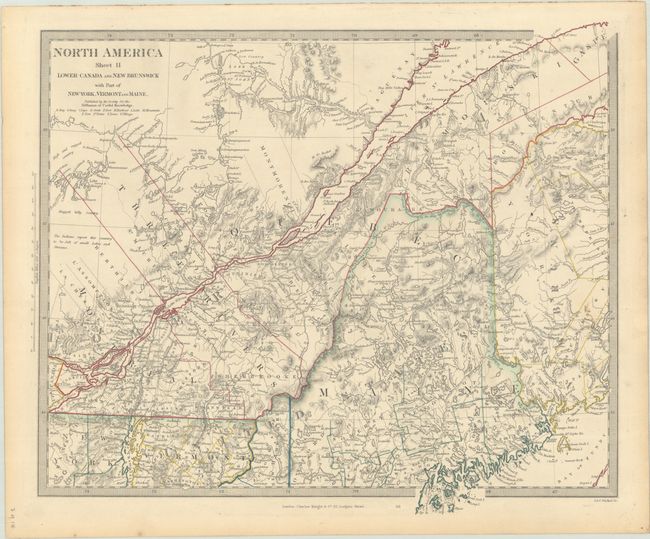
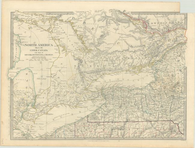
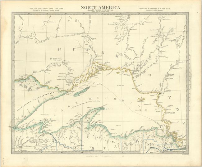
This remarkable, complete set of maps covers the eastern United States and Canada. Each is finely engraved and features terrific detail for which the society's maps are renowned. They are filled with place names, court houses and roads of the day, and good topographical and watershed detail. The maps have keyboard style borders and were published by Charles Knight. Excludes the unnumbered index sheet. The full listing of maps include:
A. North America Sheet I Nova-Scotia with Part of New Brunswick and Lower Canada (12.6 x 15.4").
B.North America Sheet II Lower-Canada and New Brunswick with Part of New-York, Vermont and Maine (15.4 x 13.1").
C. North America Sheet III Upper Canada with Parts of New York, Pennsylvania, and Michigan (17.3 x 12.8").
D. North America Sheet IV Lake Superior… (15.4 x 12.1").
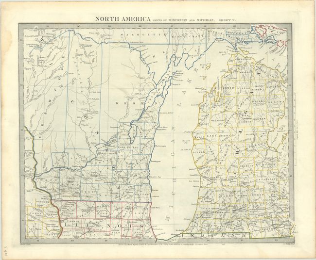
E.North America Parts of Wisconsin and Michigan. Sheet V (15.1 x 12.1").
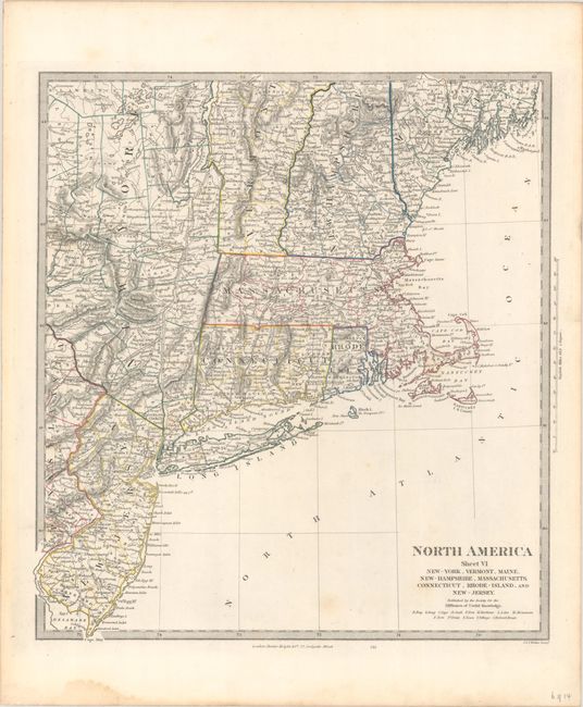
F.North America Sheet VI New-York, Vermont, Maine, New-Hampshire, Massachusetts, Connecticut, Rhode-Island, and New-Jersey (12.6 x 13.8").
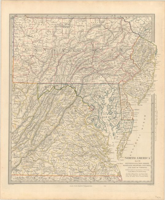
G.North America Sheet VII Pennsylvania, New Jersey, Maryland, Delaware, Columbia and Part of Virginia (13.1 x 14.6").
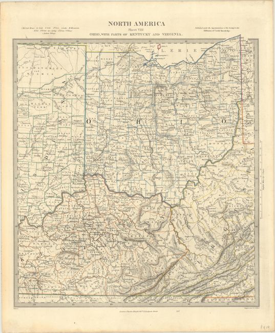
H.North America Sheet VIII Ohio, with Parts of Kentucky and Virginia (12.8 x 14.1").
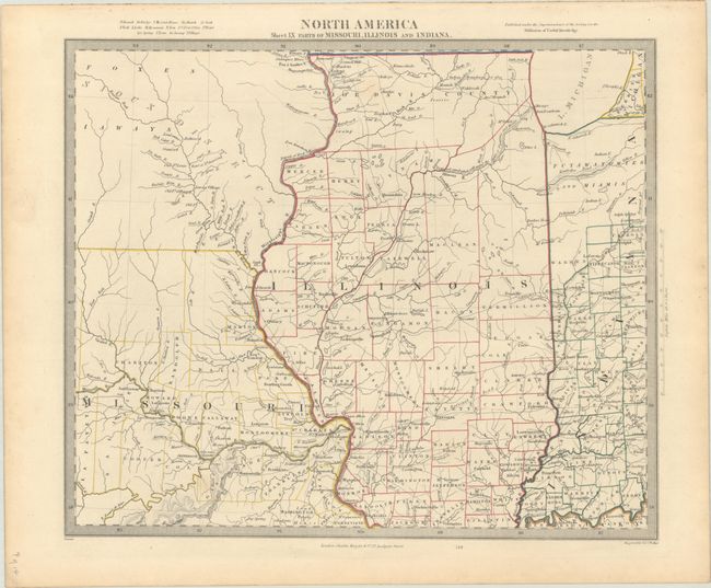
I.North America Sheet IX Parts of Missouri, Illinois and Indiana (14.4 x 12.1").
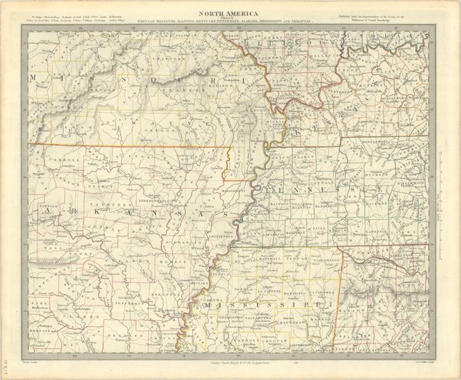
J.North America Sheet X Parts of Missouri, Illinois, Kentucky, Tennessee, Alabama, Mississippi and Arkansas (15.4 x 12.5").
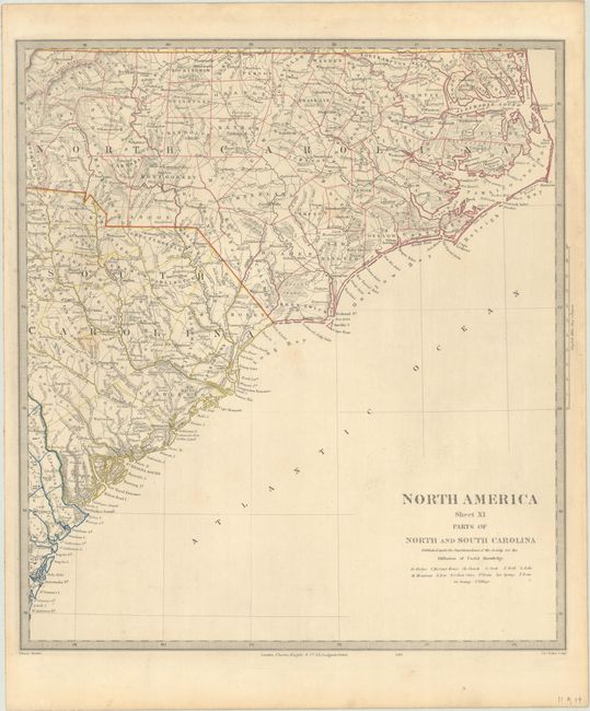
K.North America Sheet XI Parts of North and South Carolina (13.3 x 14.8").
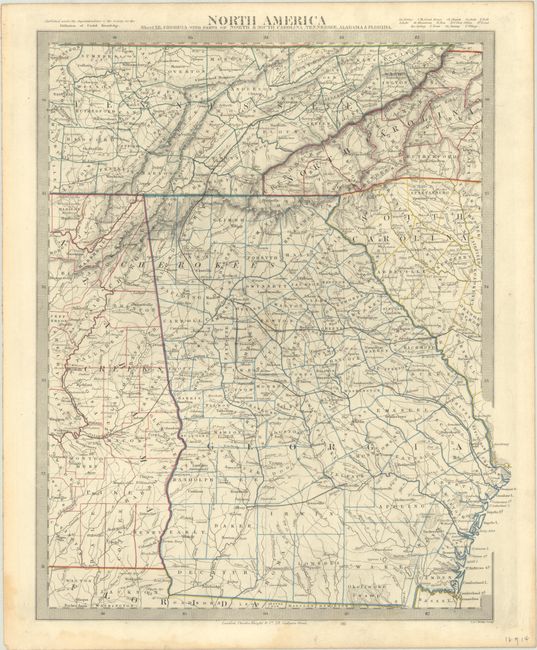
L.North America Sheet XII, Georgia with Parts of North & South Carolina, Tennessee, Alabama & Florida (12.8 x 15.6").
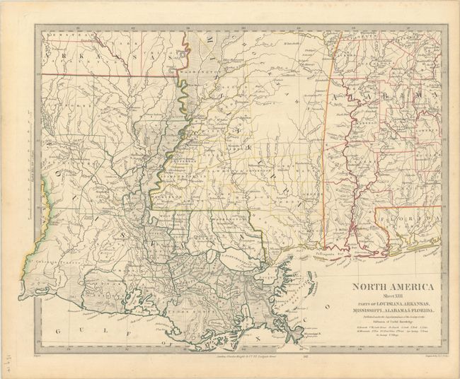
M.North America Sheet XIII Parts of Louisiana, Arkansas, Mississippi, Alabama & Florida (16.1 x 12.3").
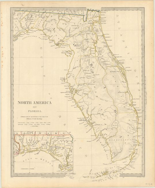
N.North America XIV Florida, (12.3 x 16.1").
References:
Condition: A
Contemporary outline color with occasional faint spots in the image and minor imperfections in the margins. Sheet III has a small binding trim at top right and an associated 2.5" archivally repaired binding tear.