Catalog Archive
Auction 196, Lot 765

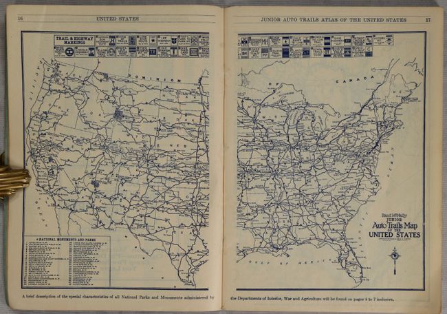
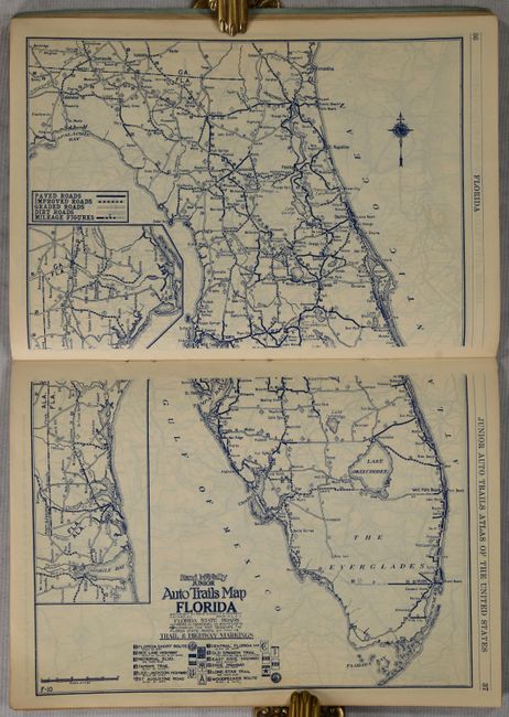
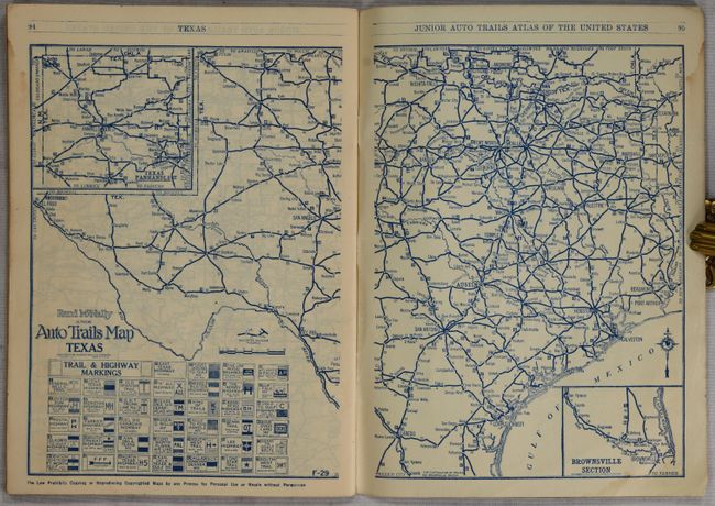
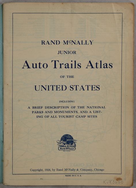
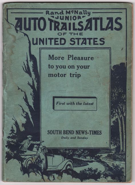
Earliest Rand McNally Road Atlas

"Rand McNally Junior Auto Trails Atlas of the United States Including a Brief Description of the National Parks and Monuments, and a Listing of All Tourist Camp Sites", Rand McNally & Co.

Subject: Road Atlas

Period: 1924 (published)

Publication:

Color: Black & White

Size:
6.4 x 8.8 inches
16.3 x 22.4 cm
Download High Resolution Image
(or just click on image to launch the Zoom viewer)

This scarce early road atlas was published during the time period that the National Highway System was being developed. It features 39 double-page maps of individual states and regions, a double-page map of the United States, mileage chart, list of National Parks & Monuments, and list of tourist camp site locations. All maps include a table of trail & highway markings along with a legend indicating road types (paved, improved, dirt, etc.). 95 pages with pictorial wrappers advertising the South Bend News-Times. We found no institutional examples of this 1924 issue on OCLC and only one example of the 1925 issue.

References:

Condition: B+

Contents have a hint of toning with some faint dampstaining along the right sheet edge. Wrappers are lightly stained and worn.

Estimate: $160 - $190

Sold for: $160

Closed on 2/7/2024

Archived