Subject: Atlases, Civil War
Period: 1891-95 (published)
Publication:
Color: Printed Color
Size:
15.3 x 18.8 inches
38.9 x 47.8 cm
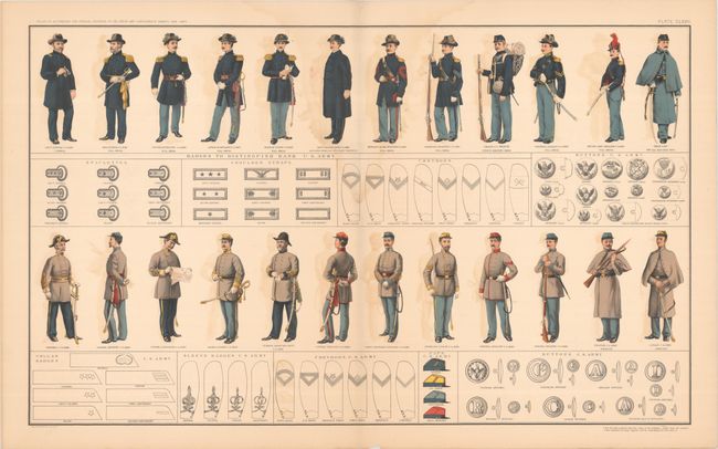
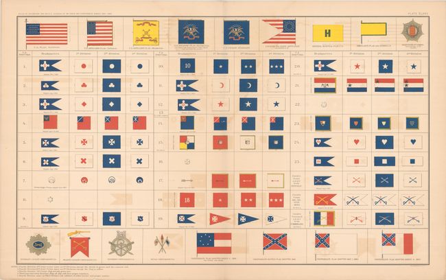
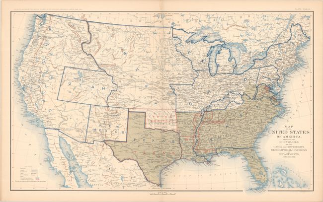
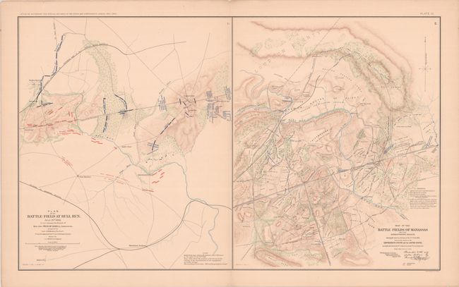
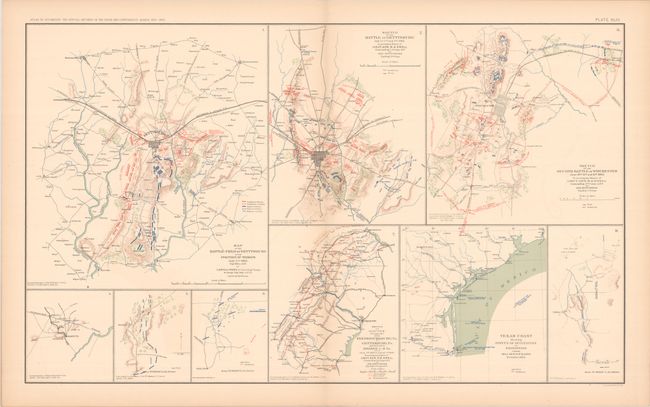
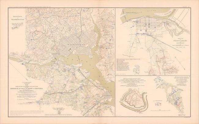
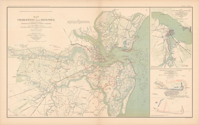
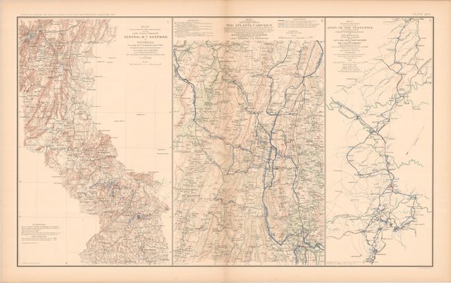
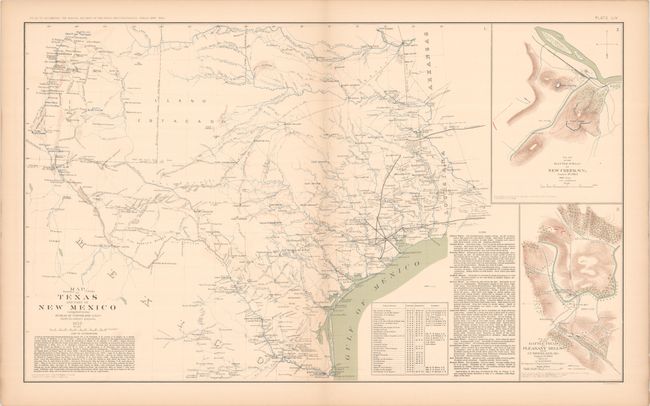
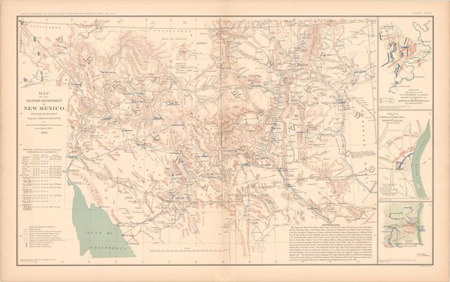
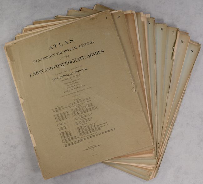
This is a complete set of 178 plates serving to illustrate the government’s official publication examining the Civil War. These plates were published in both atlas form as well as by subscription. The present example is a complete subscription run including mailings #1-35, each containing 5 plates complete with individual wrappers (the front wrapper of each run served as the title page). Due to the pain and hardship caused by the war, nearly 30 years passed before the record could be published. The double-page sheets primarily cover battle plans and troop movement, but also include several sepia-toned pages of photographs plus sheets of uniforms, weapons and flags. All the important sites are well documented including Bull Run, Antietam, Gettysburg, Atlanta, Vicksburg, and many more. Also included in the lot is a separate unnumbered mailing containing the title page, table of contents, and supplemental plates #176-178. Published under the direction of Daniel S. Lamont, Secretary of War. Subscriptions are housed in a modern blue cloth folding case.
References:
Condition: B+
Condition code is for the maps, which are mostly very good to near fine on clean sheets with occasional faint color offsetting, a few minor tears adjacent to the centerfolds, and light toning along the sheet edges. Uniform (#172) and flag (#175) plates have a light dampstain along the upper centerfold (B). Two of the three supplemental sheets not in the table of contents (#177-178) are heavily worn and tattered with significant loss at bottom (D). Supplement #176 has old tape repairs at bottom right and along the sheet edges (C+). There are old Stanford Library stamps on the versos of most of the maps. Paper wrappers are all present except for the table of contents supplement, and most are detached with light to moderate edge chips and tears. Modern folding case has light wear.