Subject: Atlases
Period: 1853 (published)
Publication:
Color: Hand Color
Size:
9.9 x 11.9 inches
25.1 x 30.2 cm
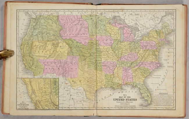
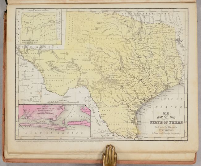
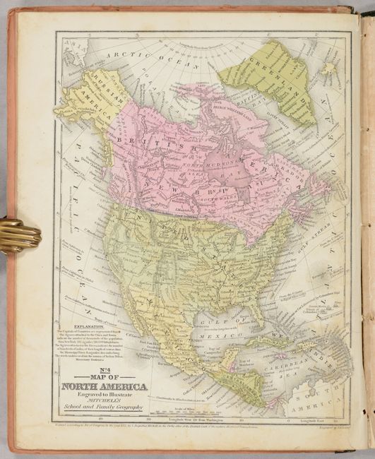
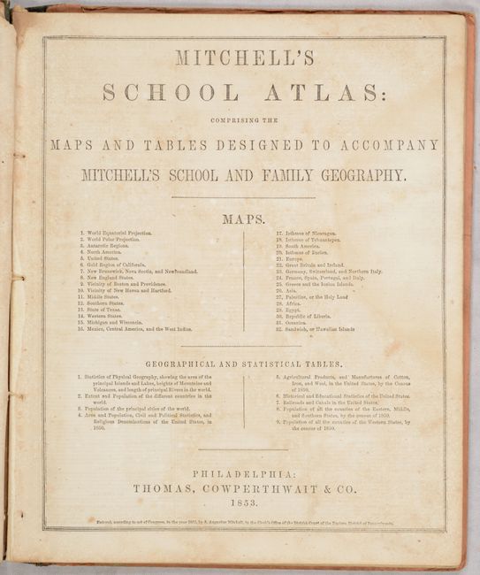
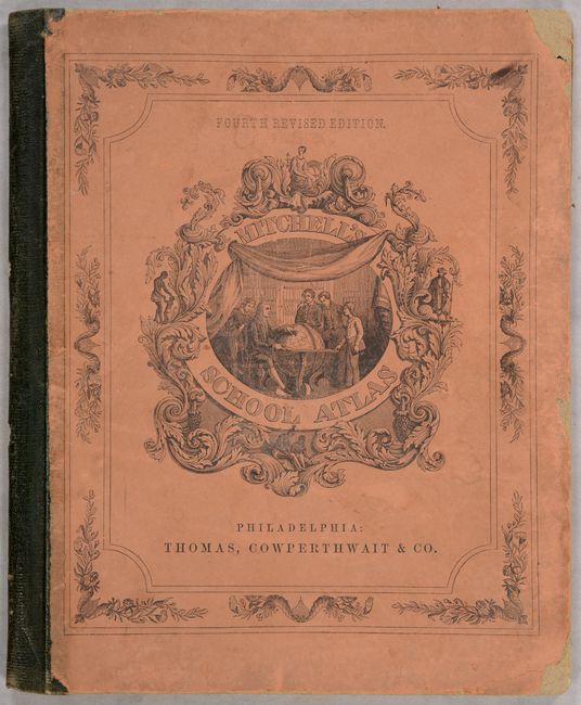
This example of Mitchell's famous school atlas is complete with 32 maps, many double-page, along with tables and statistics. The double-page map of the United States features large Utah, New Mexico, Indian and Missouri territories. Oregon Territory includes present-day Washington and extends to the Continental Divide. This map also features an inset of the Gold Region of California. The atlas also includes the desirable "No. 13 Map of the State of Texas" in its present-day configuration. All maps have blank versos. Hardbound with pictorial paper over boards. This is the fourth revised edition, published by Thomas, Cowperthwait & Co.
References:
Condition: B+
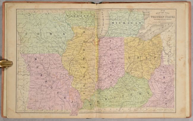
The maps are mostly very good with occasional foxing and soiling. The map of the "Western States" (western Virginia to Missouri) has some toning and dampstains (B). Text at front has a dampstain at right and some scattered foxing. Hinges are starting. Covers are soiled, stained, and worn at the corners.