Subject: Atlases
Period: 1840 (published)
Publication:
Color: Hand Color
Size:
10.8 x 15.1 inches
27.4 x 38.4 cm
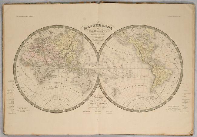
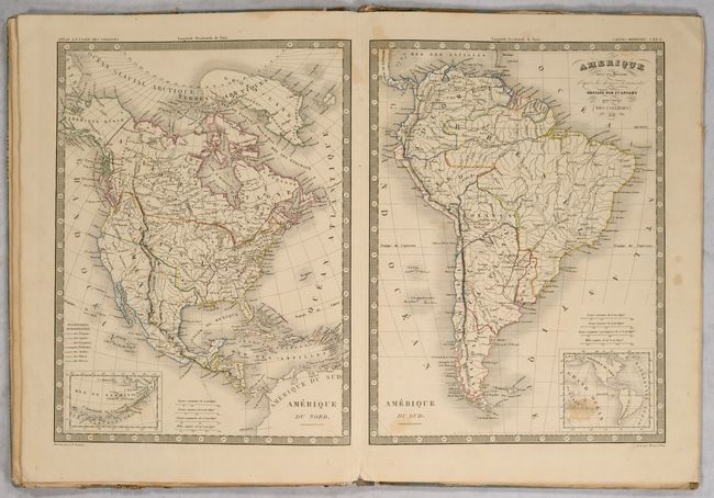
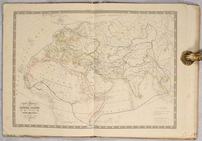
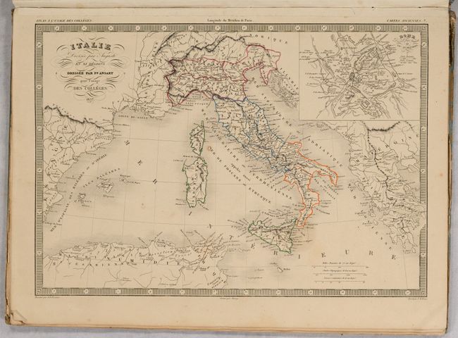
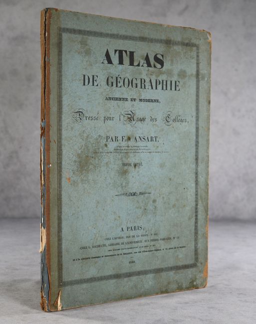
This is the second edition of Ansart's atlas intended for college students and contains 17 maps, including 8 of the modern world and 9 (of 11) of the ancient world. The modern maps include double-page maps of the world, Europe, Asia, Africa, Oceania and France as well as single-page maps of North and South America. The map of North America shows Oregon extending well into British Columbia reflecting U.S. claims in the region, and Texas is named and shown as part of eastern Mexico. The double-hemisphere world map is color-coded to indicate race including white, black and "yellow." The ancient maps include 4 double-page and 5 single-page, featuring attractive maps of the Ancient World, Roman Empire, Italy and France. Missing maps are Greece under Roman rule and Asia under Roman rule. Hardbound in stiff paper boards.
References:
Condition: B
The maps have uniform light to occasionally moderate toning with some intermittent staining. Spine backstrip has partially chipped away and the boards are loose. Covers have staining and wear at the corners and edges.