Subject: Atlases
Period: 1775-80 (published)
Publication:
Color: Black & White
Size:
7.6 x 10.3 inches
19.3 x 26.2 cm
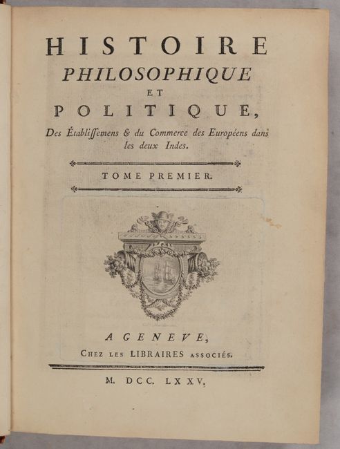
This is a complete example of Raynal’s classic treatise, which examines the colonies in the Americas, West Indies and East Indies, and discusses broad topics such as commerce, religion, slavery, and much more. It was written from an Enlightenment perspective, with much assistance from Diderot, and questioned both the status quo and the future of Europe. Sabin notes that the "sentiments and criticisms contained in it prevented its publication in France" and that the book "was condemned by the French parliament and church dignitaries," leading to the book being printed in Geneva.
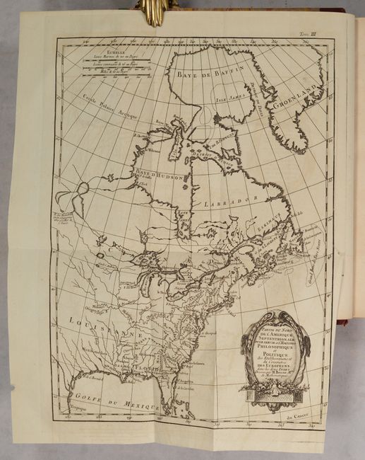
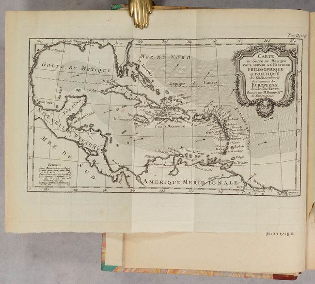
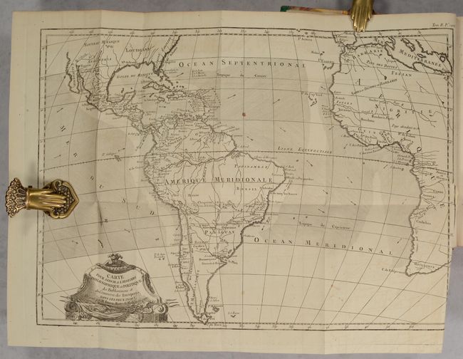
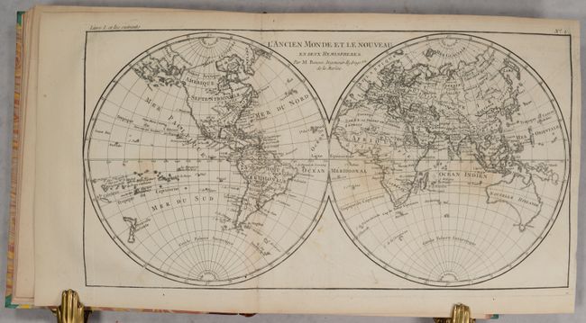
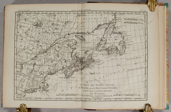
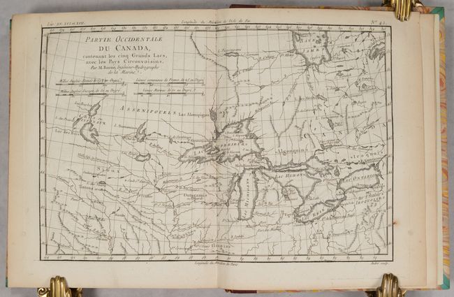
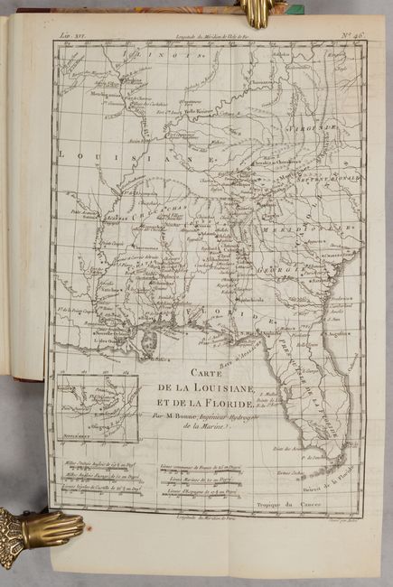
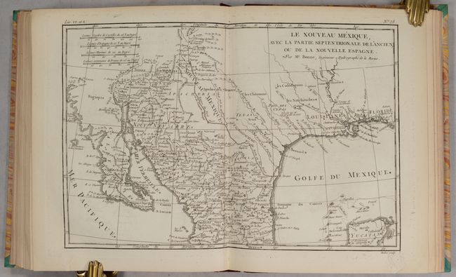
The three text volumes total over 2,000 pages (v1 – 719 pages, v2 – 662 pages, and v3 – 658 pages) and include 4 untitled folding maps, 7 engraved plates, and one portrait. Drawn by Rigobert Bonne, the maps cover the Eastern Hemisphere, Western Hemisphere, West Indies, and North America. The text volumes are supplemented by an atlas volume with 50 additional maps also drawn by Bonne and engraved by Andre and Dien. Included are a list of maps, Analyse Succincet de l'Atlas (28 pages), 50 maps, and 23 tables, many of which are folding. The map contents include two world maps, North America, South America, Europe, Asia, and Africa. There are also regional maps, including nine related to Europe, eight related to Africa, eight related to Asia, six related to South America, and fifteen related to North America. The notable North American regional maps are: Partie Occidentale du Canada; Le Nouveau Mexique; L'Isle de Terre-Neuve, l'Acadie; Carte de la Louisiane, et de la Floride; Carte de la Partie Nord des Etats Unis; and Carte de la Partie Sud des Etats Unis.
In the map of North America, the entire western part of the continent is left mostly blank. Indian tribes, such as the Apaches, Sioux, Outagamis, and Assenipouels, occupy the edges of defined territory. The British Colonies and a few major cities are named along the eastern seaboard and in the Great Lakes region. Alaska is shown as a group of islands, the largest of which is labeled Alaschka.
Hardbound in quarter leather over marbled boards with gilt title and tooling on the spine. Text volumes are dated 1775 while the atlas volume is undated, but known to be published in 1780. Published by Chez les Libraires Associes in Geneva, Switzerland.
References: Sabin #68081.
Condition: B+
The four maps bound with the text are very good with light offsetting and short binding tears. The maps in the atlas volume are also very good with light offsetting, a few spots of foxing, and a number of repaired worm tracks mostly in the blank margins. Text is clean and tight with some light toning. Bindings have light wear with small chips to the spine ends, and the front cover to volume 2 is almost detached.