Subject: Atlases
Period: 1769 (published)
Publication:
Color: Hand Color
Size:
15.9 x 22.8 inches
40.4 x 57.9 cm
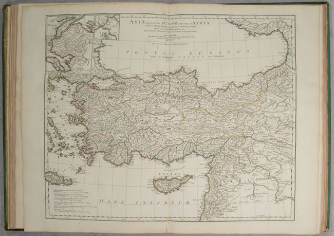
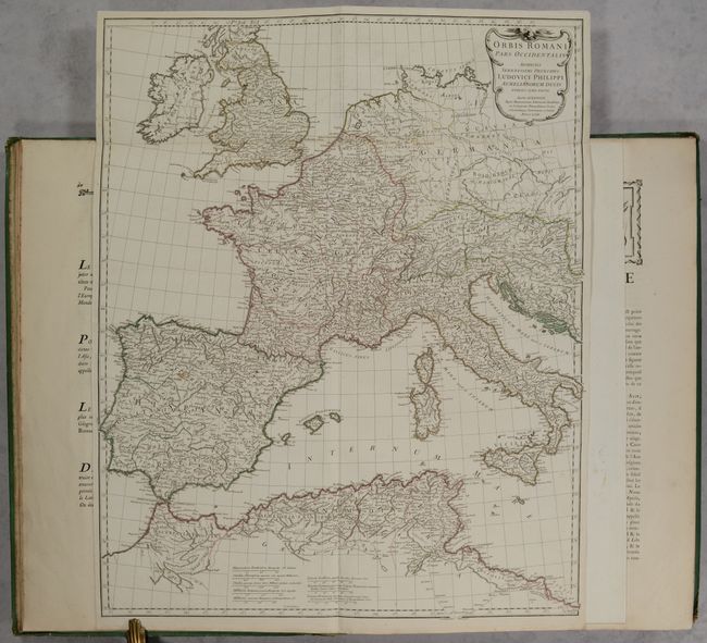
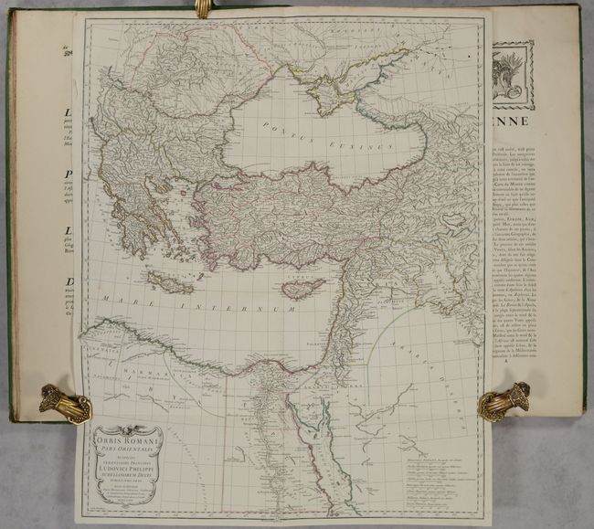
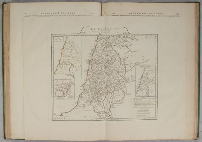
This atlas of the ancient world includes 8 (of 9) copper-engraved maps with accompanying text. The maps cover the area from Britain east to India and part of Southeast Asia and contain very good detail of towns, cities, rivers and topography. The missing map is Orbis Veteribus Notus. Of particular interest in this volume are the two double-page maps of Orbis Romani which show the full extent of the Roman Empire. The complete list of maps include:
Orbis Romani, Pars Occidentalis
Orbis Romani, Pars Orientalis
Gallia Antiqua
Tabula Italiae Antiquae
Graeciae Antiquae
Asiae quae vulgo Minor Dicitur et Syriae
La Palestine
Aegyptus Antiqua
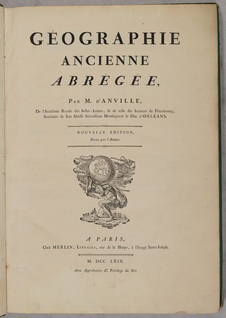
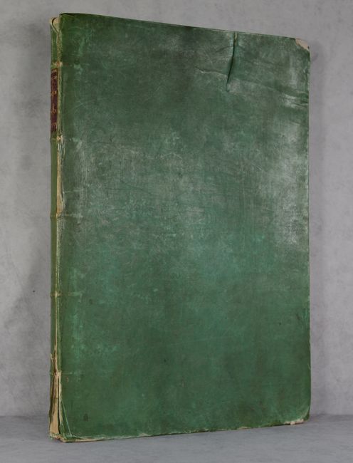
The title page features an engraving of Atlas supporting the world. Published by Merlin. Elephant folio; title page, dedication, preface; 8 (of 9) maps; 265 pp. (including index). Hardbound in green paper-covered boards with gilt embossed red leather title label on spine.
References: Shirley (BL Atlases) T.ANV-3a.
Condition: A
The maps are clean and bright with contemporary outline color. The maps of Italy and Egypt have minor foxing. The text is also clean and bright, with minor occasional toning and soiling. The title page is lightly soiled. The covers are worn with bumped corners, soiling, and some abrasions, and the front cover has a 4" tear through the board at top. The spine is chipped and beginning to detach.