Catalog Archive
Auction 196, Lot 426

"La Seigneurie de Groningue Subdivisee en Toutes ses Iuridictions...", Sanson/Mortier

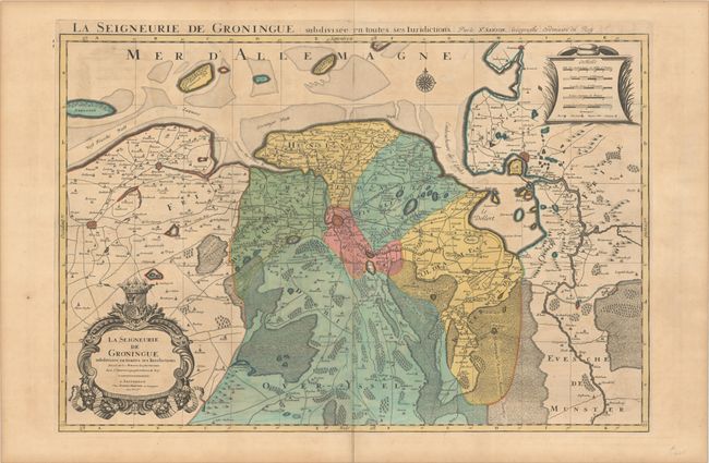
Subject: Northern Netherlands

Period: 1696 (circa)

Publication:

Color: Hand Color

Size:
31.4 x 21.2 inches
79.8 x 53.8 cm
Download High Resolution Image
(or just click on image to launch the Zoom viewer)

This large, two-sheet map gives excellent detail of the region surrounding Groningen, extending from Leeuwarden in the west to Emden and the Ems River in the east. Larger cities are depicted as miniature bird's-eye plans, and towns, roads, political boundaries, marshes, rivers, forests, and mountains are also shown. The map is adorned with two decorative cartouches, and the title is repeated above the map. Printed on two sheets, joined as issued.

References:

Condition: B+

A sharp impression with full contemporary color on lightly toned sheets with light offsetting and minor soiling.

Estimate: $300 - $400

Sold for: $100

Closed on 2/7/2024

Archived