Catalog Archive
Auction 196, Lot 305

"Iles de l'Amerique, Situees dans l'Ocean Septentrional, avec Toutes Leurs Cotes, Bayes, et Ports...", Aa, Pieter van der

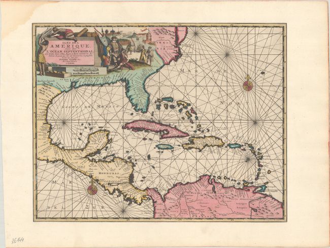
Subject: Gulf of Mexico & Caribbean

Period: 1729 (circa)

Publication:

Color: Hand Color

Size:
14.4 x 11.3 inches
36.6 x 28.7 cm
Download High Resolution Image
(or just click on image to launch the Zoom viewer)

This rare and skillfully engraved chart focuses on the West Indies and covers the region from Chesapeake Bay through the Gulf of Mexico, with Central America and the northern part of South America. The map features excellent detail along the coastlines with numerous place names, capes, bays, and offshore islands identified. A pictorial title cartouche fills the interior of North America and shows Native Americans trading with Europeans and a small view of Havana harbor in the background. The chart is further enhanced with compass roses and rhumb lines.

References:

Condition: A

A crisp impression that has been trimmed to neatline and mounted on old paper. There are a few small spots and a dampstain that is confined to the top left blank margin.

Estimate: $1,200 - $1,500

Sold for: $900

Closed on 2/7/2024

Archived