Subject: New Jersey & New York
Period: 1887 (dated)
Publication:
Color: Hand Color
Size:
26.6 x 33.4 inches
67.6 x 84.8 cm
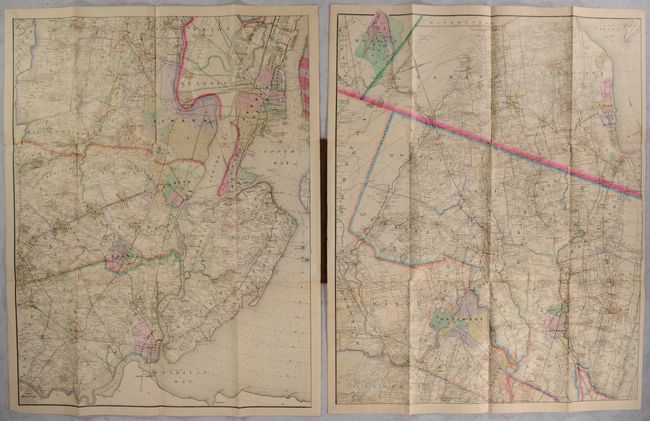
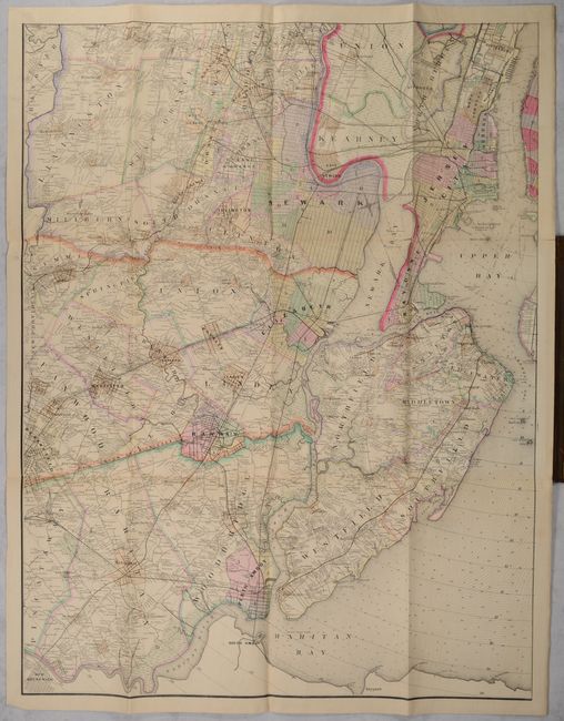
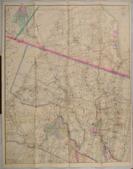
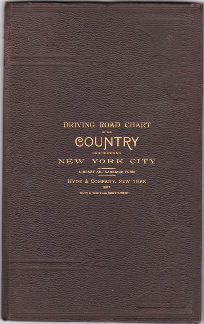
Issued by Hyde & Company, these two sheets represent the northwestern and southwestern quadrants of a mammoth four-sheet map of greater New York City. This pair covers the region from New Brunswick, Newark, Jersey City, and Hackensack north into New York including Nyack, Spring Valley and New City. Each sheet is filled with fine detail including the street grid pattern of larger towns and cities, roads, railroads, rivers, docks, marshes, property owners, and much more. Backed with contemporary linen. Folds into brown cloth boards (7.5 x 12.0”) with gilt title on the front cover. OCLC shows three institutional locations for the complete four-sheet map.
References:
Condition: B+
Issued folding and backed with contemporary linen. There is some light toning and a couple of short splits at the fold junctions. Covers have light wear.