Catalog Archive
Auction 196, Lot 145

"The Cotidal Lines and the Tracks of Coasters Between New York and Ports to the Southward and to the Eastward", Blunt, Edmund

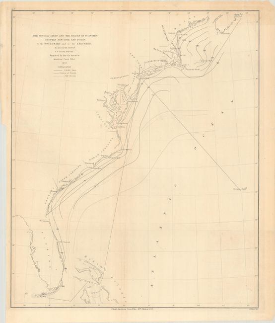
Subject: Eastern United States

Period: 1857 (dated)

Publication: Blunt's American Coast Pilot

Color: Black & White

Size:
15.4 x 18.5 inches
39.1 x 47 cm
Download High Resolution Image
(or just click on image to launch the Zoom viewer)

This map delineates cotidal lines, the tracks of vessels, and the Gulf Stream along the Eastern Seaboard. It spans from Florida as far north as Halifax, and it extends into the Atlantic to Bermuda. Inland detail is sparse aside from the names of states and a scattering of major cities. Taken from A.D. Bache's U.S. Coast Survey chart for the 18th edition of Blunt's American Coast Pilot.

References:

Condition: A

Issued folding with a few minor spots.

Estimate: $100 - $130

Sold for: $70

Closed on 2/7/2024

Archived