Subject: Western Hemisphere - America
Period: 1936 (published)
Publication:
Color: Printed Color
Size:
9.1 x 12.1 inches
23.1 x 30.7 cm
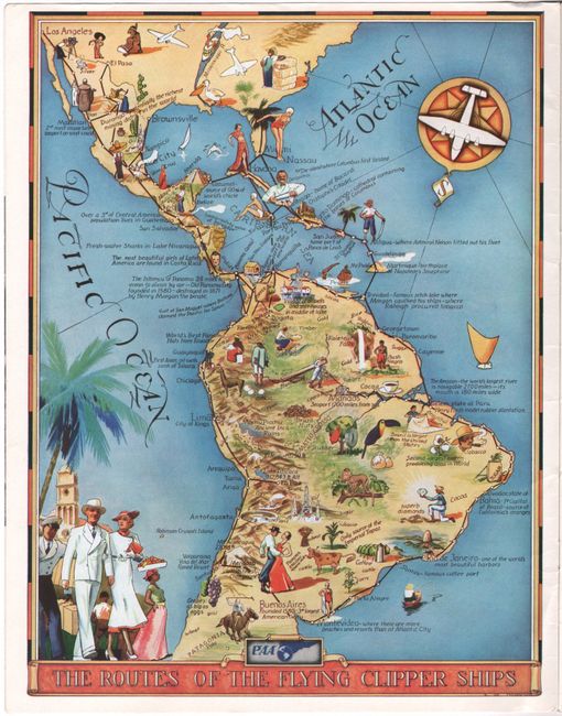
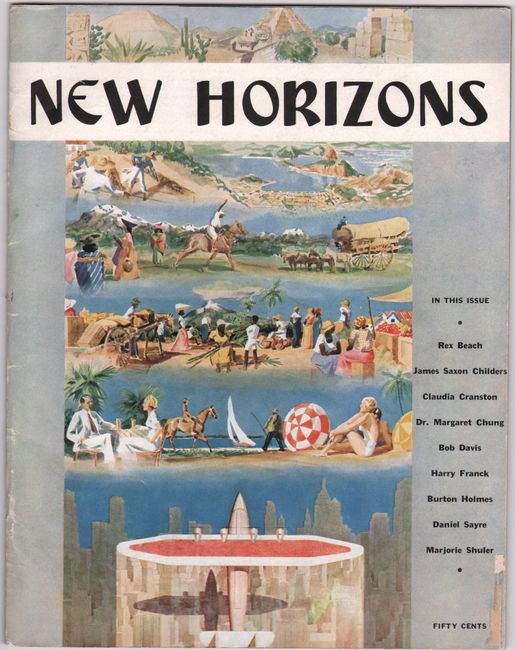
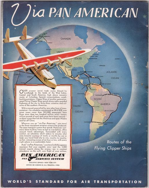
This map of Pan Am's "flying clipper ship" routes was created by Kenneth W. Thompson. Pan Am named their flying boat fleet "clippers" to associate them with the maritime heritage of ocean liners. Flying boats could land in any sheltered harbor, making them a convenient and quick form of transportation that could service more cities than land planes, which required large runways. This map depicts the routes between the United States and South America with black lines, with white dots denoting the stops. The map highlights the growing trade and transportation routes between North and South America and is filled with numerous illustrations depicting resources, crops and industry. The map is inside an issue of New Horizons, a promotional magazine published by Pan American Airways. The magazine is filled with articles on traveling to different international locations, and includes an advertisement for the clipper ships on the back cover that shows the routes within the western hemisphere and extending to China. Also included in the magazine is a letter invitation to a viewing of a Pan Am film signed by V. A. Kropff, a District Traffic Manager, and a large, full-color postcard of the Christ the Redeemer statue.
Kenneth Webster Thompson (1907-1996) was an American artist who was best known for his maritime and landscape paintings. A native of New York City, he studied at the Grand Central Art School and later became a wartime illustrator for the Library of Congress in Washington, D.C. Thompson often illustrated in the advertising field for companies such as Pan Am and Coca Cola, and also contributed work to numerous national and local magazines, including Life, Colliers, and Look. Thompson was a celebrated artist, earning a life membership in the Society of Illustrators as well as awards from the Chicago Art Directors Club, the New York Art Directors Club, and the American Institute of Graphic Arts.
References:
Condition: A
The magazine is clean and crisp. The front and back covers are detached and have light soiling and minor creasing. There is a piece of a label on the front cover.