Subject: Atlases
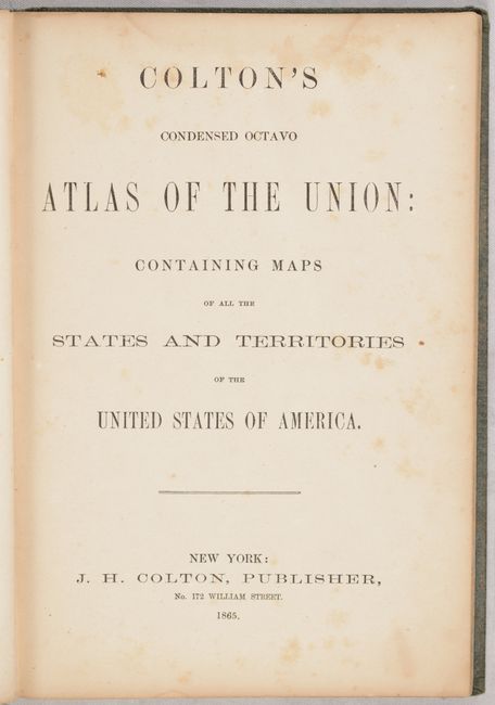
Period: 1865 (published)
Publication:
Color: Hand Color
Size:
6.6 x 9.6 inches
16.8 x 24.4 cm
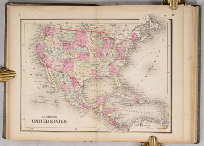
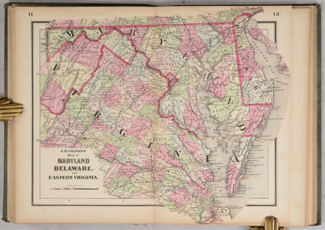
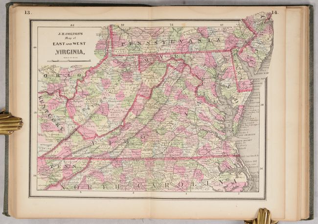
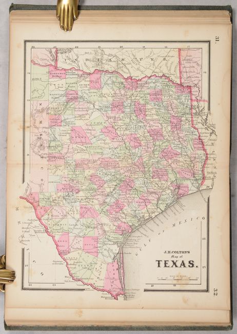
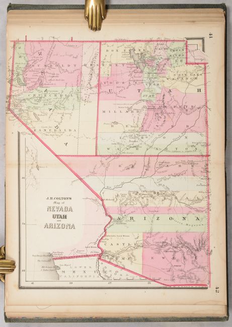
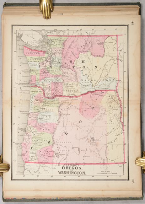
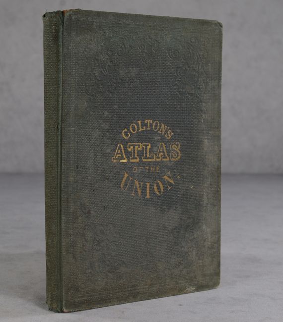
This complete atlas contains a total of 25 maps covering the states and territories of the United States, including 24 double-page maps and 1 folding map of California. Issued during the Civil War, it contains several maps not seen in other Colton atlases including Maryland Delaware, and Eastern Virginia and East and West Virginia. This latter map shows the borders for the new state of West Virginia but is called Western Virginia. The atlas also includes a nice map of the entire United States, state maps of Texas and Florida, and several maps showing the evolving western territories. Octavo, hardbound in green cloth with gilt title on the front cover.
References:
Condition: B+
The maps are in bold color with light toning and minor foxing and soiling. There are dampstains along the top edge of the text block, barely entering the image on a couple of maps. The title page and front and back free-endpapers have moderate to heavy foxing. Includes pencil notations on front and back free-endpapers from previous owners. The covers are heavily soiled and stained with bumped corners, but still well intact.