Subject: Cyprus
Period: 1630 (circa)
Publication: Gerardi Mercatoris Atlas sive Cosmographicae Meditationes...
Color: Black & White
Size:
10.3 x 7.5 inches
26.2 x 19.1 cm
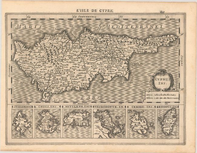
This elegantly engraved chart of Cyprus features plenty of place names and topographical detail. It also includes a a moire-patterned sea and a decorative title cartouche with two distance scales. Below the main map are six inset maps of Greek islands: Stalimini I.; Chius Ins.; Mitilene, Ins:; Negroponte, In.; Cerigo, Ins.; and Rhodus, Ins. This is the first edition with French text on verso, published between 1630-1636.
References: Stylianou #102; Van der Krogt (Vol. III) #8130:353.
Condition: A
A nice impression with a small wormhole in the border at right and bottom left. There is marginal dampstaining, well away from map image.


