Catalog Archive
Auction 195, Lot 607
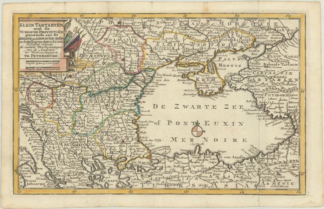
"Klein Tartaryen, met de Turksche Provintien, Grenzende aan de Zwarte en Azofsche-Zeen...", Leth, Andries & Hendrik de

Subject: Black Sea & Balkans
Period: 1740 (circa)
Publication:
Color: Hand Color
Size:
11.3 x 7 inches
28.7 x 17.8 cm
Download High Resolution Image
(or just click on image to launch the Zoom viewer)
(or just click on image to launch the Zoom viewer)

