Subject: Novaya Zemlya, Russia
Period: 1672 (circa)
Publication: Atlas Mayor
Color: Hand Color
Size:
9.9 x 6.6 inches
25.1 x 16.8 cm
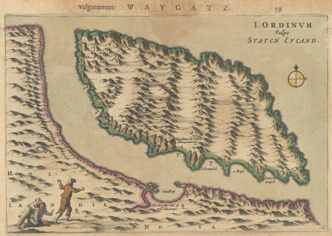
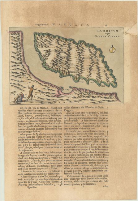
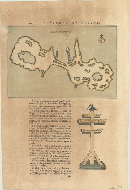
These scarce maps of Novaya Zemlya were only published in the various editions of Blaeu's Atlas Maior. They were drawn from Linschoten and Barents' description of their explorations of the Arctic Sea (1594-97) in search of a Northeast Passage to Asia. This sheet contains a small map (9.8 x 6.6") of Vaygach Island (Staten Eyland) and the Yugorsky Strait. It is decorated by a small scene of a polar bear attacking two explorers. On the verso is a map (9.7 x 6.5") of Maurits Island, an island that we can’t identify; according to the text, it is near Vaygach. The locations of several crosses with runic characters are noted, along with an illustration of one of the crosses. This sheet is from the Spanish edition published after 1672, the final work of the famous Blaeu publishing house, which was destroyed by fire at the time this edition was being published. On a sheet of Spanish text measuring 11.8 x 17.2".
References: Van der Krogt (Vol. II) #1276:2 & 1278:2.
Condition: B
On a toned sheet with a dampstain in the image at top center and a repaired chip in the margin, entering the image a bit on the map of Maurits Island.


