Subject: Central Europe, Germany
Period: 1720 (circa)
Publication:
Color: Hand Color
Size:
22.2 x 17.9 inches
56.4 x 45.5 cm
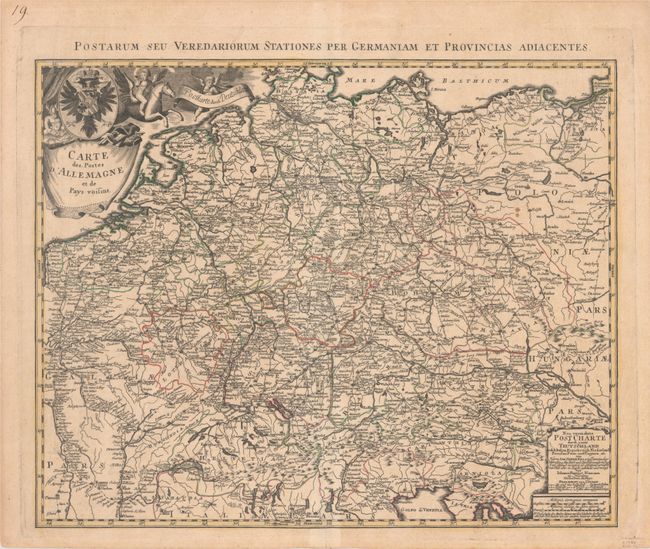
This map focuses on the postal towns and roads throughout the German Empire, extending from the North and Baltic Seas to the Gulf of Venice. A cartouche at bottom right includes distance scales, an alternate German title (Neu Vermehrte Post Charte durch Gantz Teutschland...), and a legend identifying the symbols for different types of postal routes. The title cartouche features the arms of the German Empire, a putto sorting mail, and another putto riding a Pegasus. There is an alternate Latin title above the map: "Postarum seu Veredariorum Stationes per Germaniam et Provincias Adiacentes."
References:
Condition: B+
A sharp impression with contemporary outline color on a faintly toned sheet with a large fleur-de-lis watermark, minor offsetting, and a few small spots.


