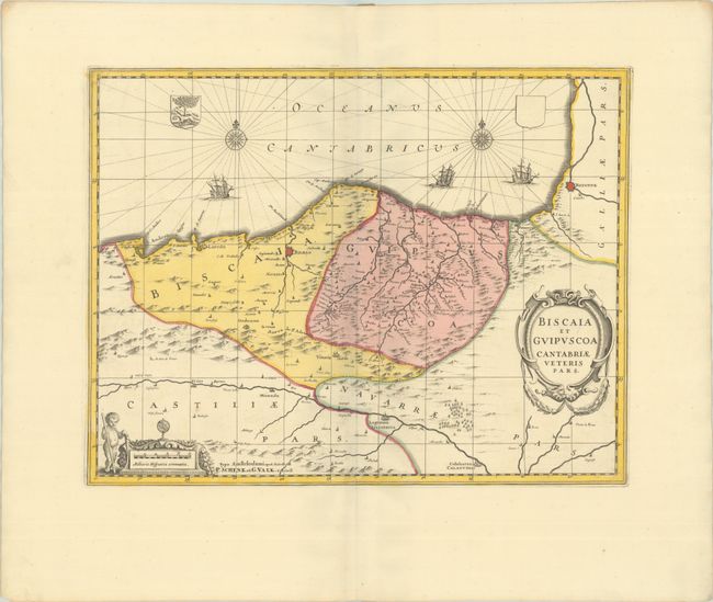
Subject: Northern Spain
Period: 1700 (circa)
Publication:
Color: Hand Color
Size:
19.1 x 14.8 inches
48.5 x 37.6 cm
This handsome copper engraved map shows the coastal Basque country in northern Spain. It includes the cities of Santander, Laredo, Bibao and Bayonne (France) and extends inland to Logrono and Calahorra. Three ships sail in the Bay of Biscay and the map is embellished with a compass rose and rhumb lines, coat of arms, title and distance scale cartouches. Petrus Schenk acquired the plate from Jansson's heirs and reissued the map with the imprint of his publishing partnership and with the addition of lines of latitude and longitude. Blank verso.
References: cf. Van der Krogt (Vol. I) #6020:1.
Condition: A+
A sharp impression with full contemporary color on a bright sheet with wide margins and one minor spot of foxing.


