Catalog Archive
Auction 195, Lot 518

"Martis Area et Alea per Tractum Rheni, Mosellae ac Mosae, in qua per Plurimos Annorum Tractus Variante Eventu Saepius Certatum...", Seutter, Matthias

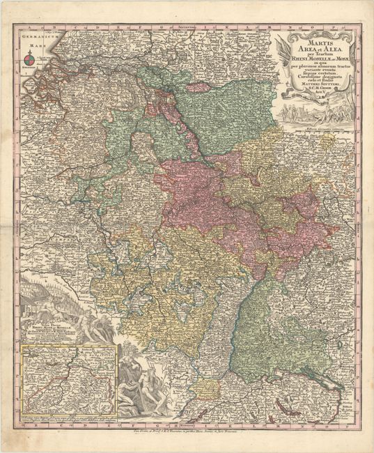
Subject: Western Europe, Rivers

Period: 1730 (circa)

Publication:

Color: Hand Color

Size:
19.6 x 22.8 inches
49.8 x 57.9 cm
Download High Resolution Image
(or just click on image to launch the Zoom viewer)

This densely engraved map follows the Rhine, Moselle and Meuse Rivers through western Europe, extending as far south as Solothurn, east to Wurzburg, and north to Deventer. The map is filled with hundreds of tiny towns and is embellished with two decorative cartouches featuring river gods. A small inset map at bottom left shows the origin of the Rhine River.

References:

Condition: A

A nice impression with full contemporary color with an archivally repaired centerfold separation at left and light soiling confined to the blank margins.

Estimate: $200 - $230

Sold for: $150

Closed on 11/15/2023

Archived